Trimble R12i GNSS Receiver
TIP Tilt Compensation
ProPoint RTK Engine · Multi-Constellation GNSS · IP68 Rugged Construction
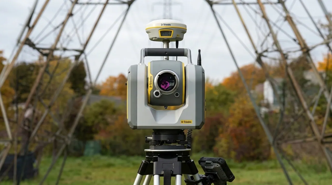

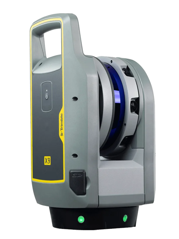 TrimbleGNSS · Total Stations · Scanning
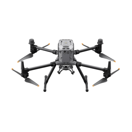 DJI EnterpriseDrones · LiDAR · Dock
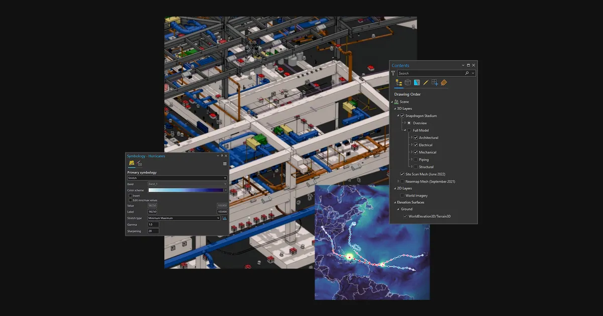 Esri ArcGISGIS & SDI
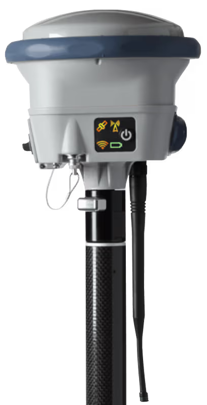 Spectra GeospatialGNSS & Robotic Stations
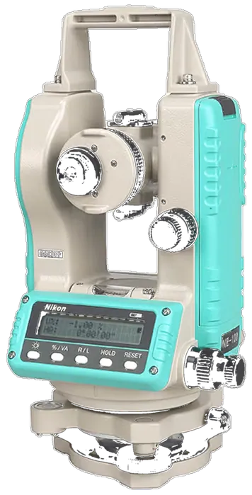 Nikon PrecisionOptical Survey
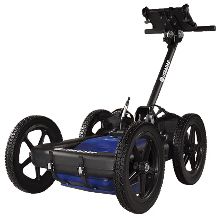 US RadarGround Penetrating Radar
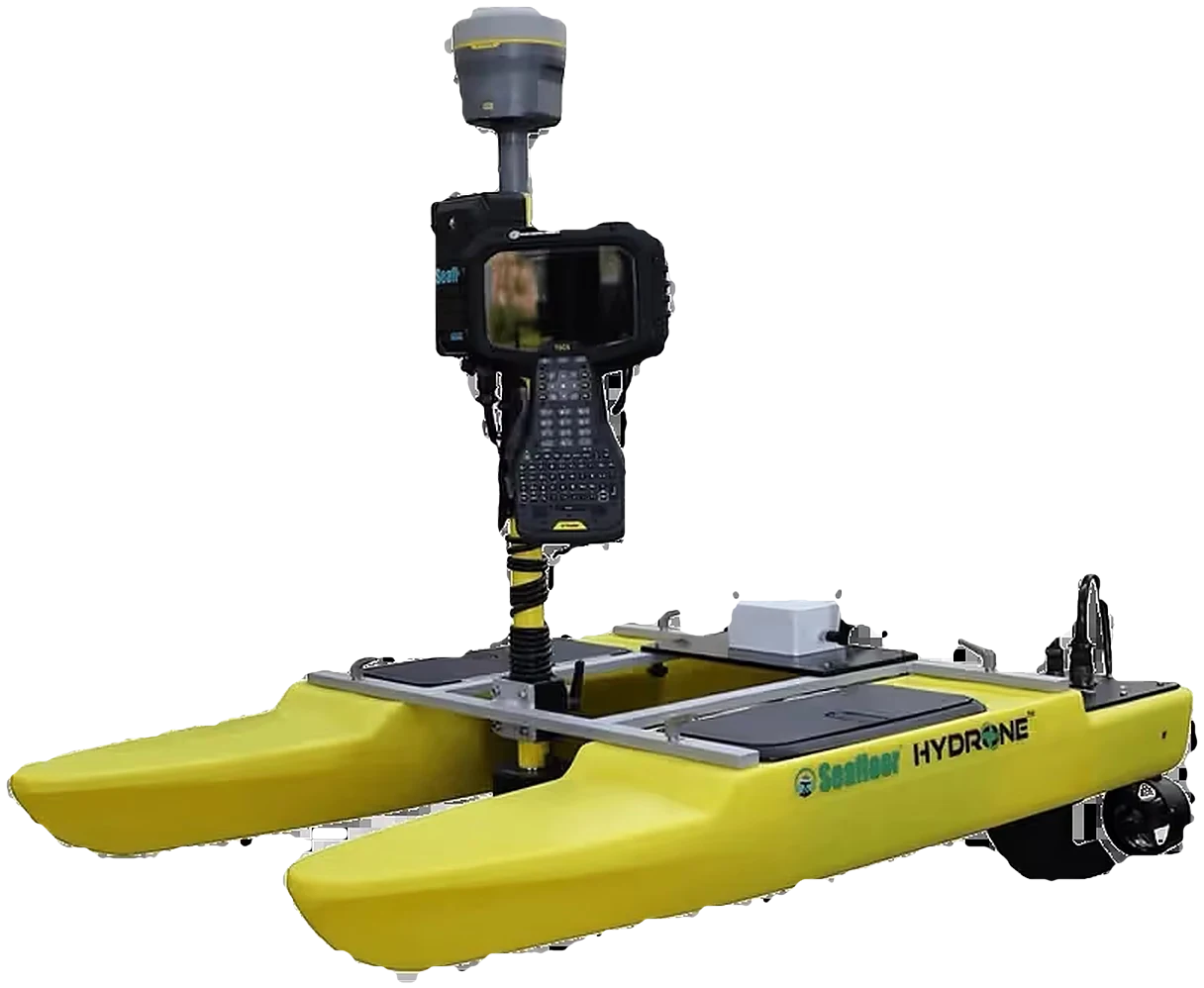 Seafloor SystemsHydrographic Survey
 Autodesk & CarlsonCAD & Field Software
 DatamineMine Geology Software
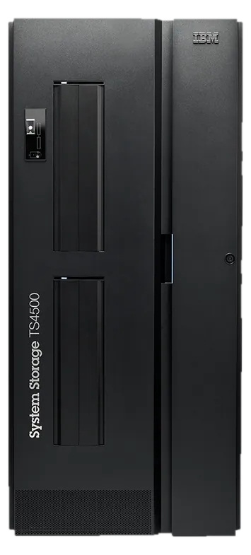 IBM Tape StorageEnterprise Data Archive
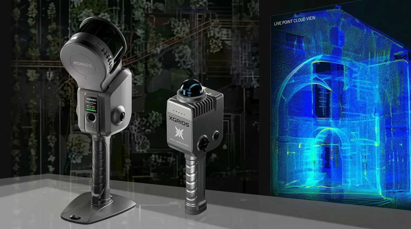 XGRIDSHandheld SLAM LiDAR
From millimeter-accuracy Trimble GNSS and robotic total stations to DJI Enterprise drone LiDAR, US Radar subsurface GPR, and enterprise Esri spatial infrastructure — we provide end-to-end technology and certified service backing.
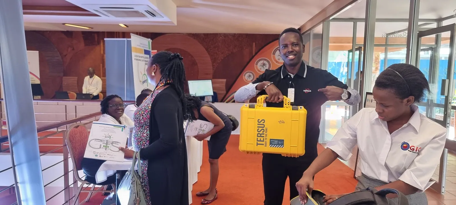
Industry-standard positioning technology designed to deliver repeatable millimeter accuracy in dense jungle canopies, urban canyons, and challenging African field environments.
TIP Tilt Compensation
ProPoint RTK Engine · Multi-Constellation GNSS · IP68 Rugged Construction
MagDrive Servo Technology
SurePoint Auto-Compensation · Trimble VISION Video · Trimble Access Integration
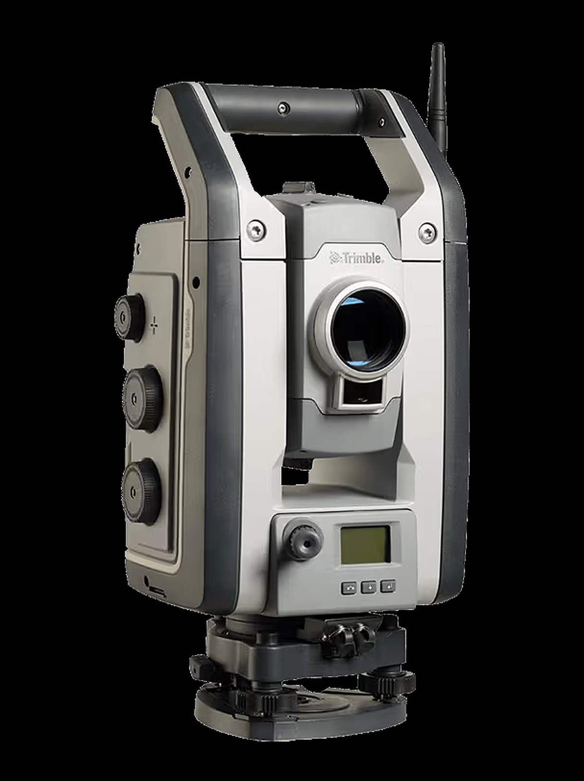
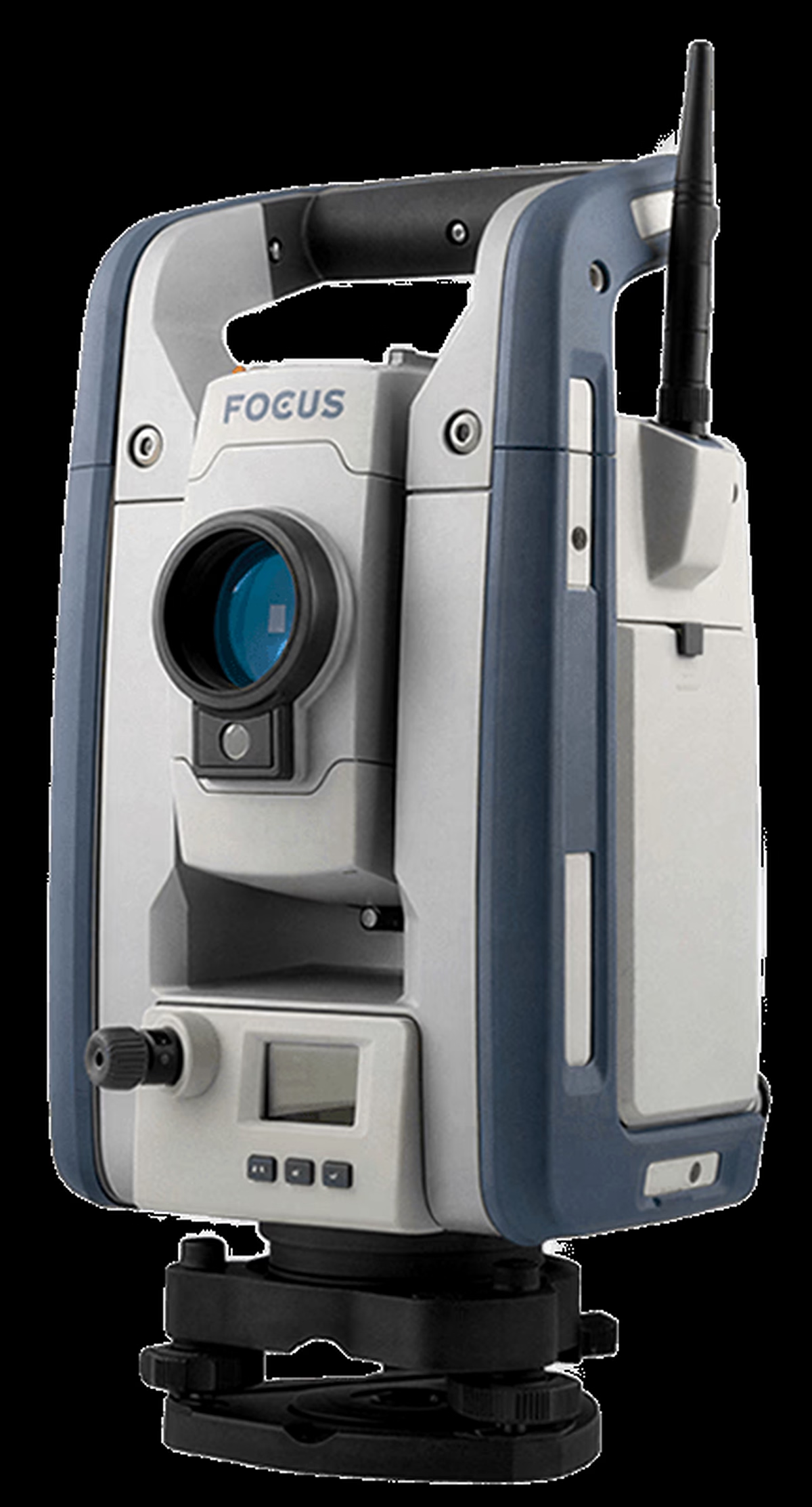
Spectra FOCUS 35 & FOCUS 50 Robotic Stations
Nikon XS & XF Manual Stations · Precision Optical Auto-Levels · Local Calibration Support
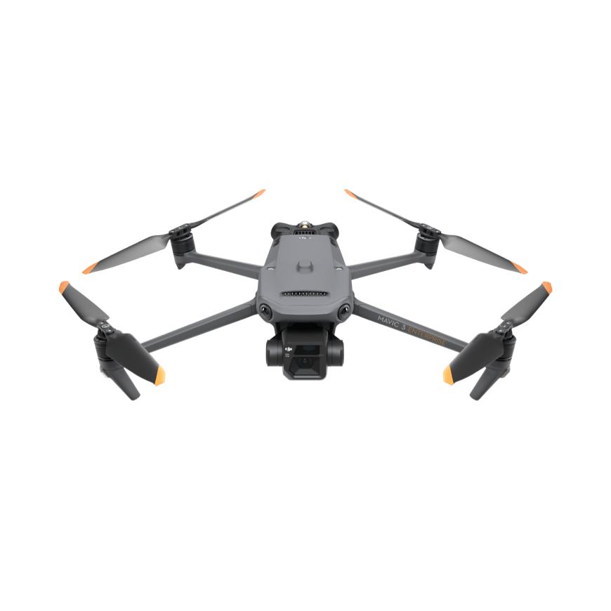
Accelerate spatial capture across vast mines, agricultural estates, and highway corridors with high-efficiency RTK drone platforms and survey-grade sensors.
55-Minute Flight Time
IP55 Weather Rating · 2.7kg Payload Capacity · Multi-Frequency RTK
Mechanical Shutter Camera
RTK Module Support · 640×512 Thermal Sensor · 45-Minute Flight Time
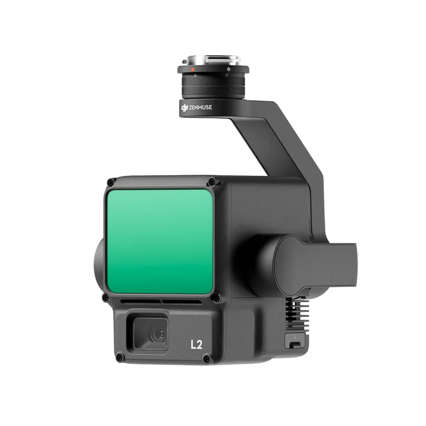
5 LiDAR Returns
250m Detection Range · Real-Time Point Cloud Coloring · Autonomous Dock Operations
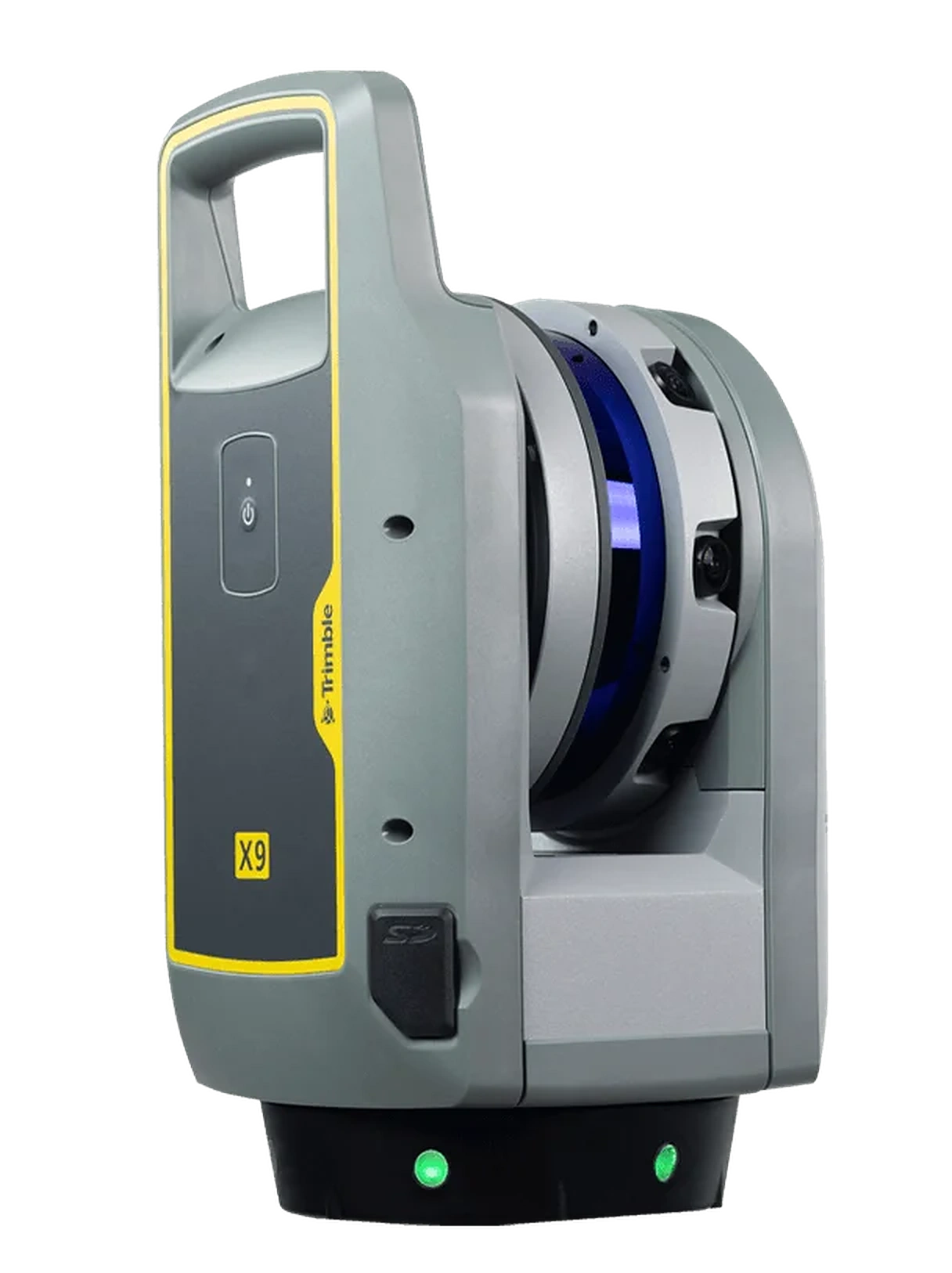
Transform complex physical assets, industrial plants, historical buildings, and GPS-denied tunnels into dense, millimeter-accurate 3D point clouds.
Automatic Self-Calibration
Full Scan Under 2 Minutes · In-Field Auto-Registration · Ideal For BIM & Tunnels
2.187M Points/Second
365m Operational Range · 80MP HDR Color Imagery · Structural Deformation Monitoring
Real-Time Continuous SLAM
Handheld, Backpack Or Drone-Mountable · Minutes-Fast Building Capture · BIM/CAD Point Cloud Export
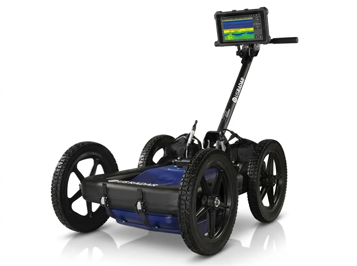
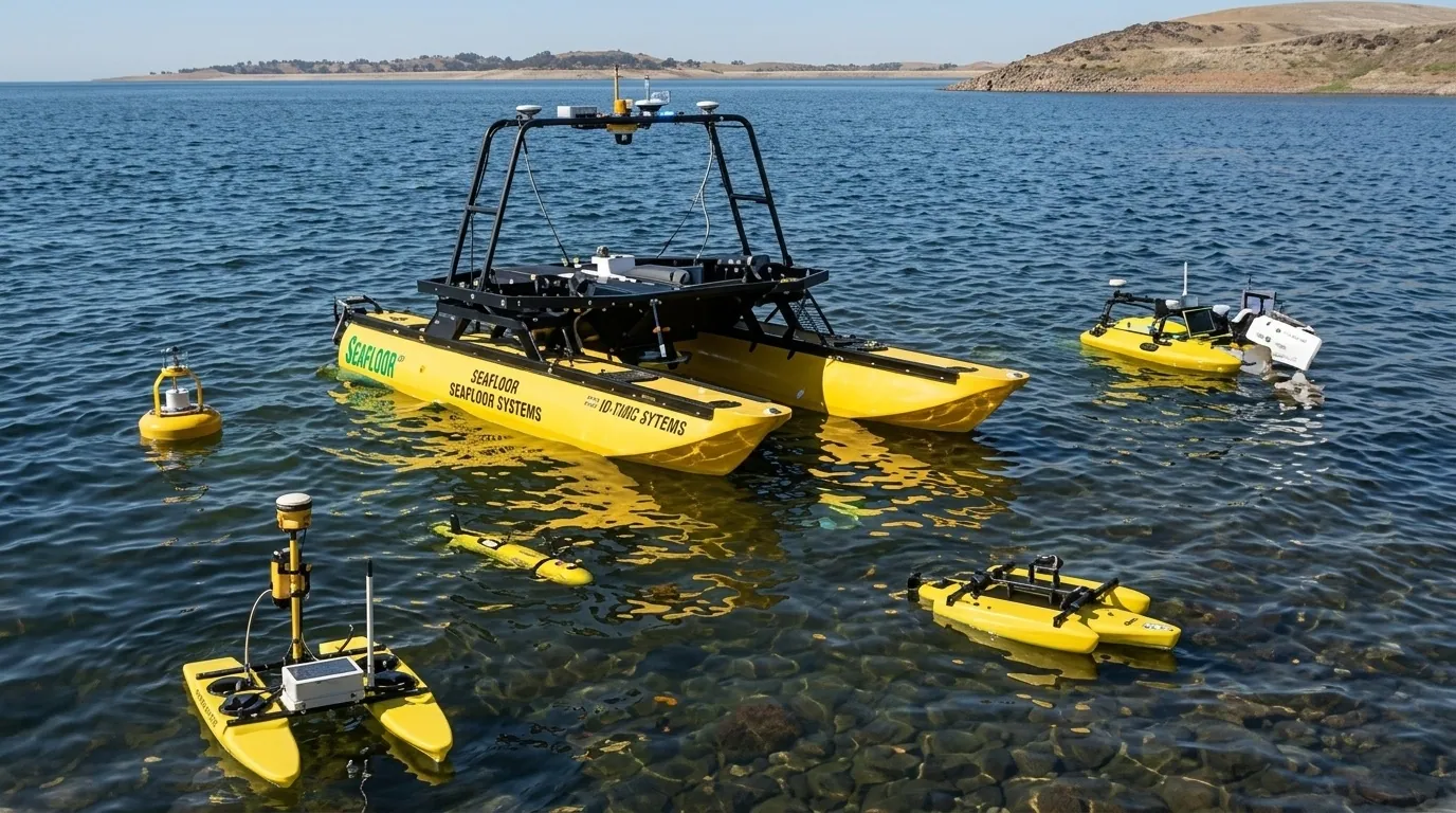
Non-destructive underground utility imaging with US Radar GPR, paired with autonomous acoustic bathymetry from Seafloor Systems for reservoirs, dams, and rivers.
Simultaneous 250/500/1000 MHz
GPS-Georeferenced CAD/GIS Export · Real-Time 3D Depth Slicing · Rugged All-Terrain Cart
Autonomous Waypoint Navigation
RTK GNSS Integration · Siltation Volume Auditing · Removes Crew From The Water
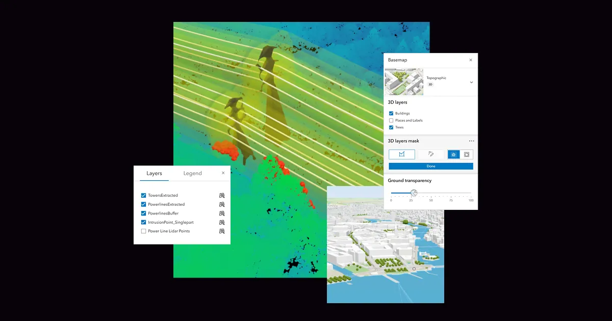
Transform raw field survey points into authoritative spatial intelligence. As an Esri Silver Partner, we license, deploy, and support the full ArcGIS platform.
Advanced 2D/3D Spatial Analysis
Powerful Mapping & Visualization · Desktop Geoprocessing Automation · World's Leading GIS Software
Self-Hosted GIS System
On-Premises, Cloud Or Hybrid · Centralized Spatial Data Management · Scalable Enterprise Architecture
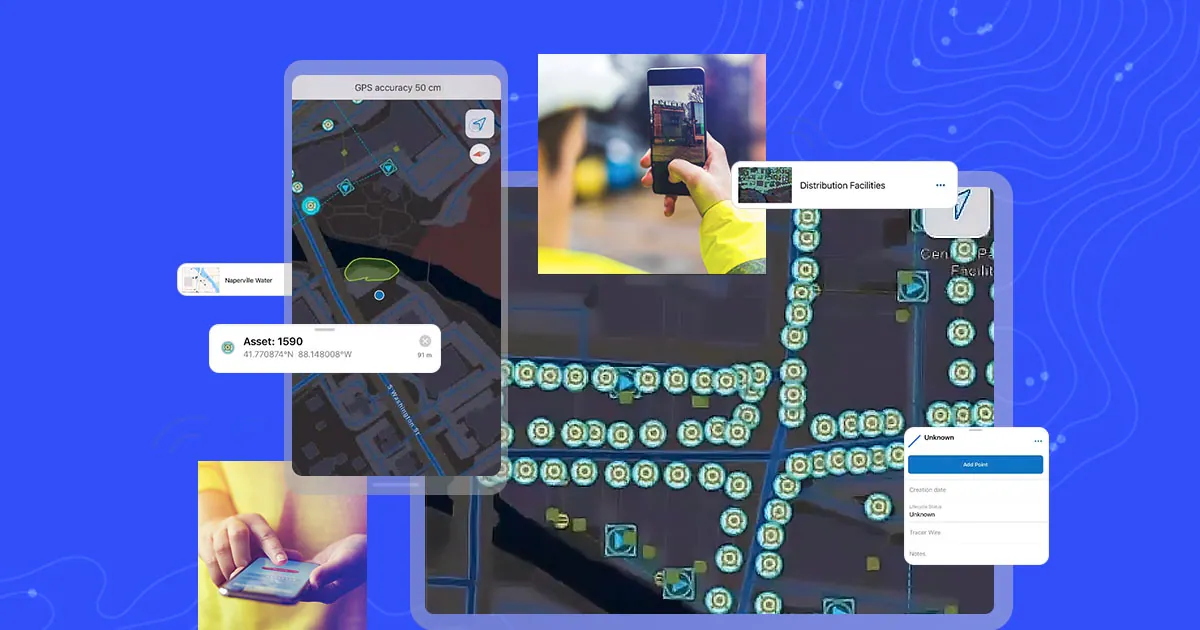
Mobile Field Data Collection
Real-Time Map Navigation · Mobile Workforce Management · Offline-Capable Data Capture
Bridge field instruments directly to engineering deliverables with Carlson Software, Trimble Business Center, and Autodesk Civil 3D.
Field-To-Finish Workflow
Point Cloud & GNSS Data · Volumetric & Surface Tools · Direct CAD/GIS Export
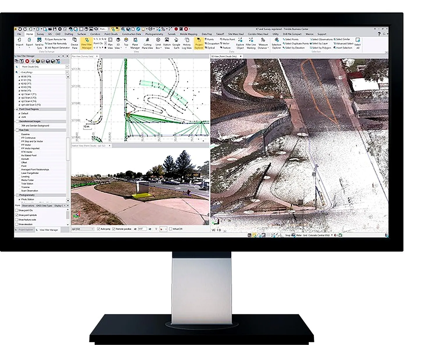
Hardware-Independent Data Collection
Geological Block Modeling & Pit Design · Earthwork Cut/Fill Estimation · AutoCAD/IntelliCAD Compatible

Dynamic 3D Corridor Modeling
Grading & Earthwork Analysis · Integrated Survey & Design Data · Automated Plan Production
Building Information Modeling
Coordinated Architectural & MEP Design · Parametric 3D Building Components · Construction Documentation
We supply Datamine’s geology and mine planning software suite — trusted for resource estimation, geological modelling, and open-pit optimisation.
True Reflection Of The Subsurface
Resource Modelling & Estimation · Geological Domain Interpretation · Block Model Development

Geological Interpretation Environment
Implicit 3D Modelling · Structural & Stratigraphic Analysis · Seamless Studio RM Integration

Photogrammetry-Based Mapping
Rock Face & Pit Wall Imaging · Structural Geology Capture · Rapid Non-Contact Data Collection

Servers, structured cabling, and IBM tape storage for long-term retention and air-gapped, cyber-resilient backup — the infrastructure layer behind your spatial data.
Enterprise Server Clustering & DR
Structured Cabling & Fiber · GIS/ERP Integration · SLA-Backed Managed Support
Next-Generation Cloud Storage
Up To 926PB With LTO 10 · Integrated Fleet Management · High Storage Density
Low-Profile Entry-Level Storage
Up To 162TB With LTO 9 · Supported On Open System Platforms · Cost-Effective Long-Term Retention

We are proud distributors and solution partners for the world's most trusted manufacturers.






Our application engineers work with your team to review project specifications, recommend optimal hardware/software combinations, and arrange on-site demonstrations.