



Field capabilities

Field Spotlights & Capabilities

Government ministries, UN agencies, and civil engineering leaders trust KACO for precision technology and field workflows. Below are illustrative examples of how we apply that technology to common project types — not attributed to a specific named client.

Drone survey flight over a quarry site for volumetric analysis.

Precision Technology, Applied In The Field

Illustrative examples of the type of work we deliver, built around real KACO field photography — not named case studies with client-attributed results. Browse the full Field Gallery or get in touch to discuss your own project.

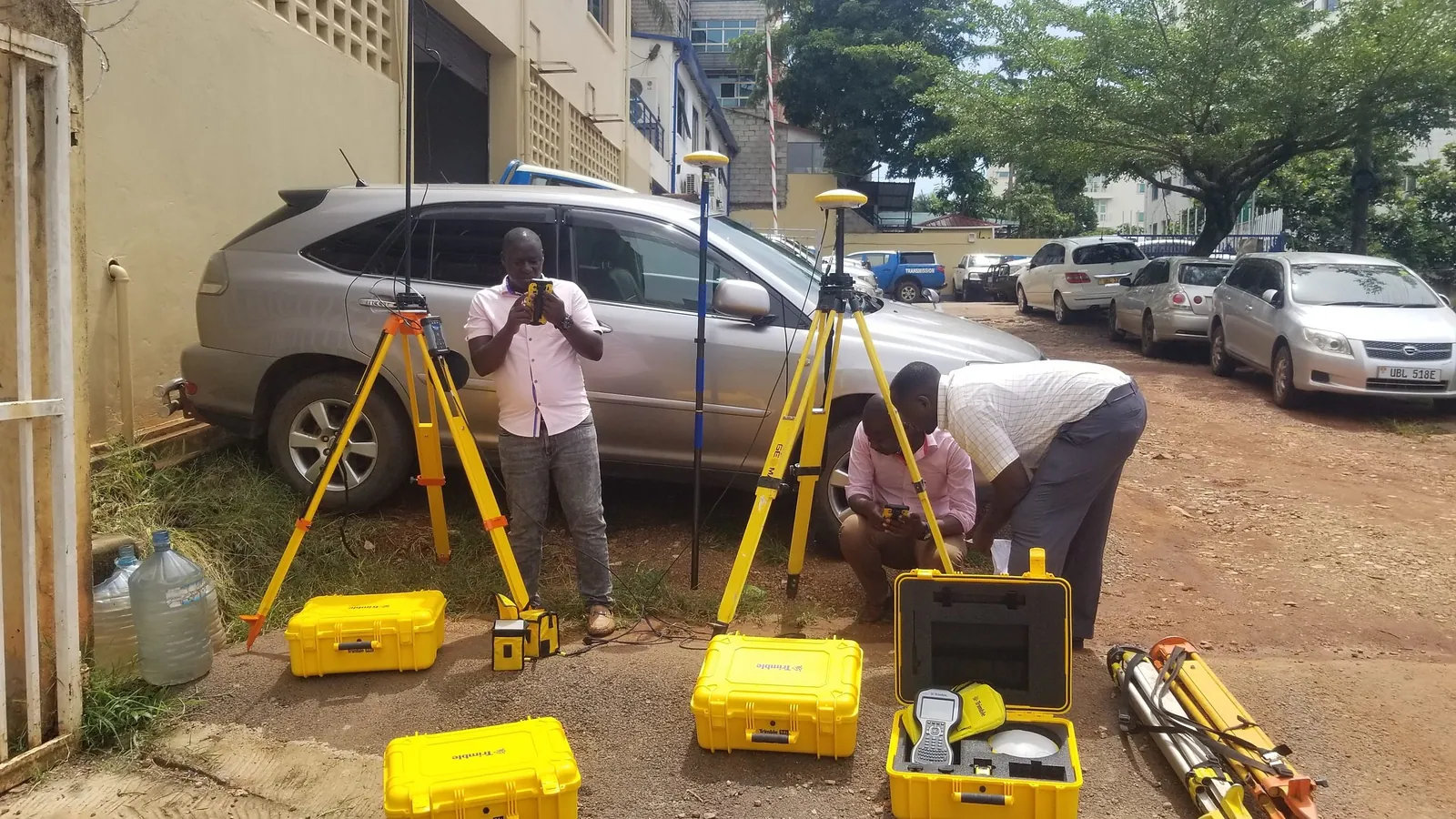
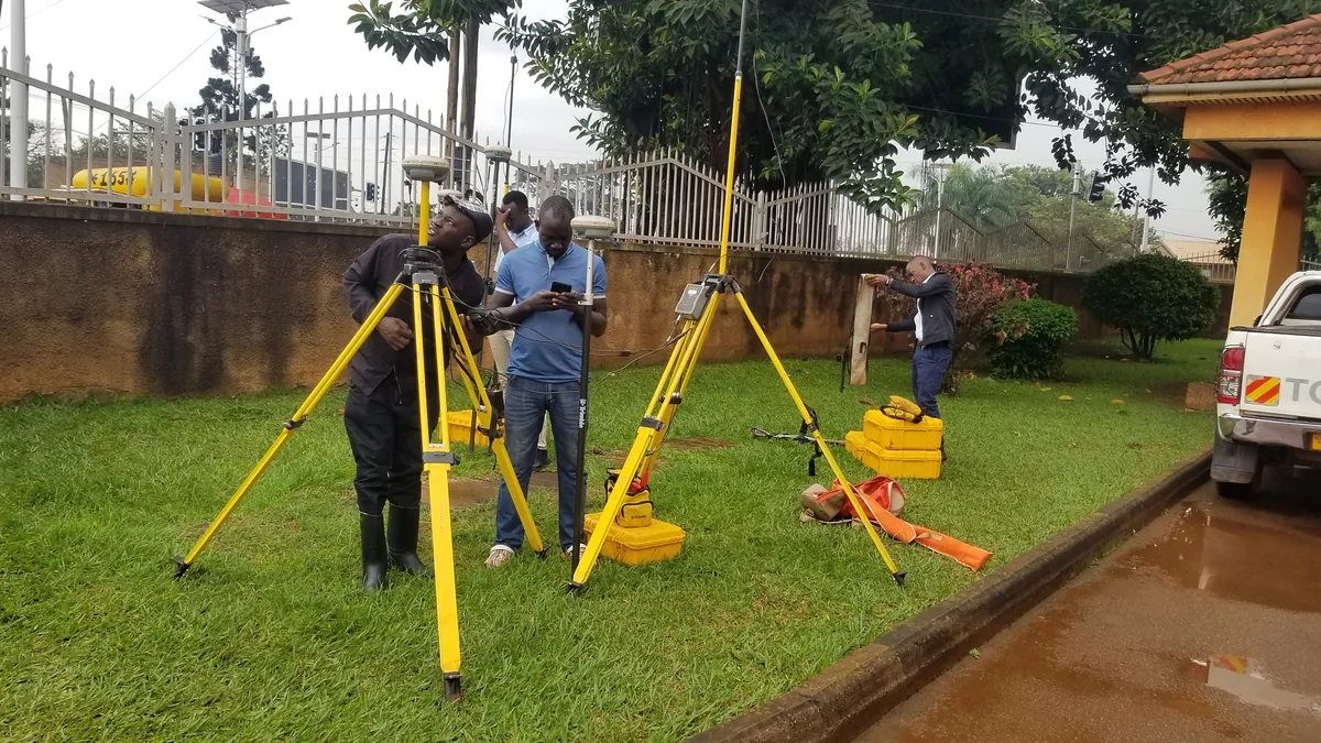
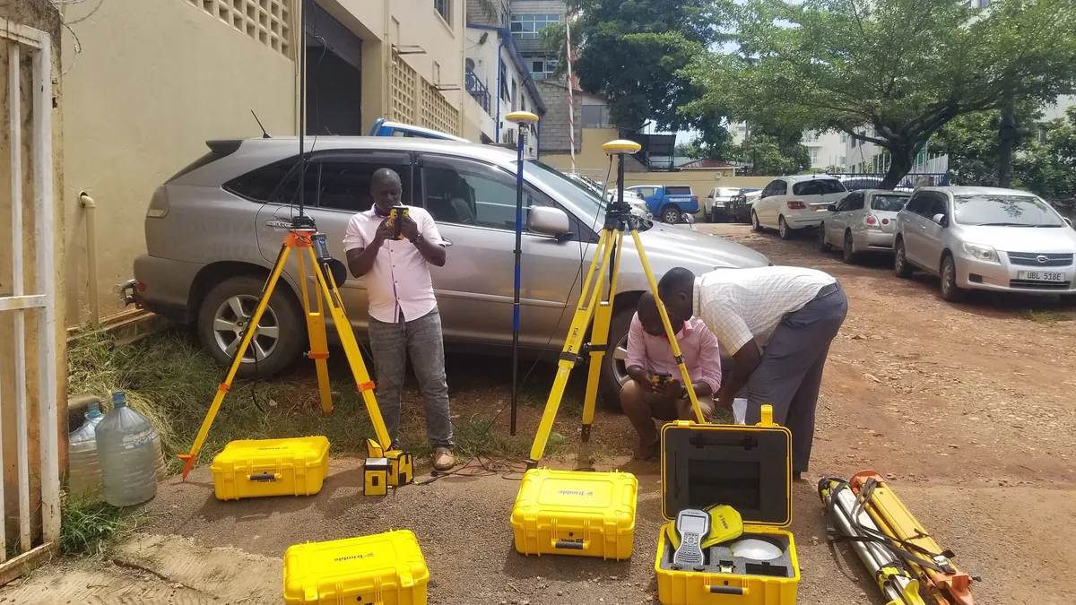
Trimble GNSS receivers on heavy-duty tripods performing static benchmark measurements.
01

National Geodetic Control & Infrastructure Cadastral Survey

The ChallengeEstablishing reliable geodetic baselines across expansive, rugged terrain with intermittent cellular coverage — the kind of ground truth road construction and legal cadastre depend on.
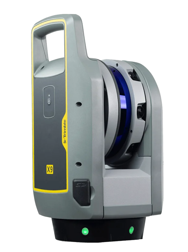
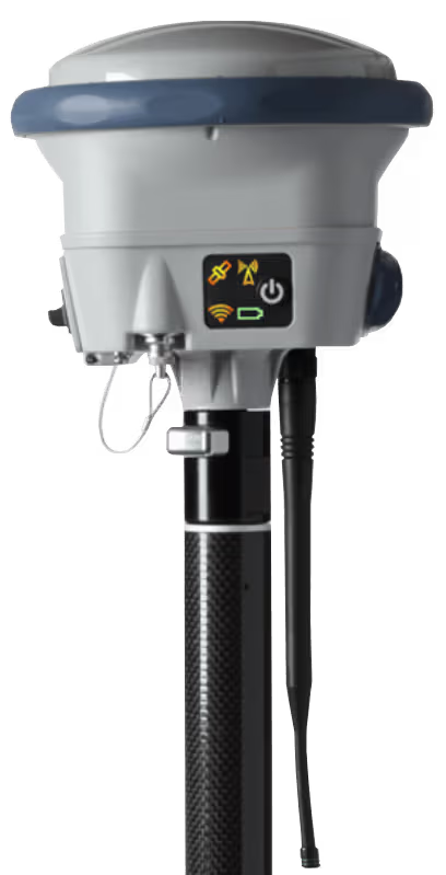
The SolutionMulti-frequency Trimble R12i GNSS receivers running long-session dual-frequency static observations, tied to the International GNSS Service (IGS) reference frame and processed in Trimble Business Center (TBC) with least-squares network adjustments.
What This DeliversHigh-accuracy control points suitable as the spatial foundation for engineering-grade infrastructure design and legal parcel cadastre.
Aerial survey crew setting up a drone at a commercial aggregate quarry.
02

Aerial Drone Photogrammetry & Quarry Volumetric Auditing

The ChallengeManual aggregate inventory reconciliation traditionally means surveyors climbing hazardous rock stockpiles with GNSS poles — slow, and a real safety risk.
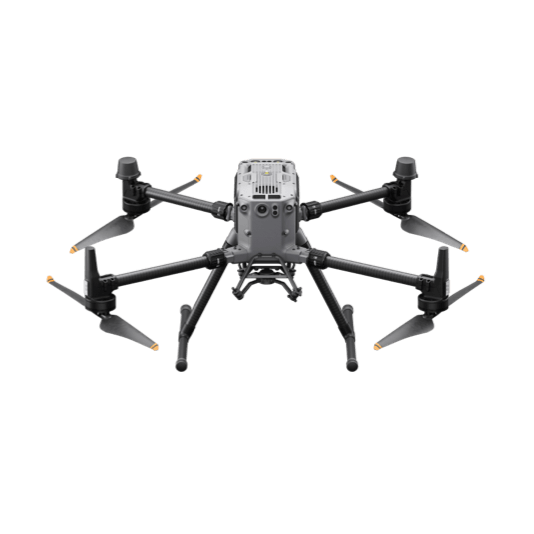
The SolutionA DJI Matrice 350 RTK drone with a Zenmuse L2 LiDAR sensor flies automated terrain-following lines. Point clouds are classified in DJI Terra and cut/fill volumes calculated in Carlson Mining.
What This DeliversFaster survey turnaround with no personnel exposed to unstable stockpile terrain, and volumetric outputs suitable for inventory reconciliation and audit reporting.
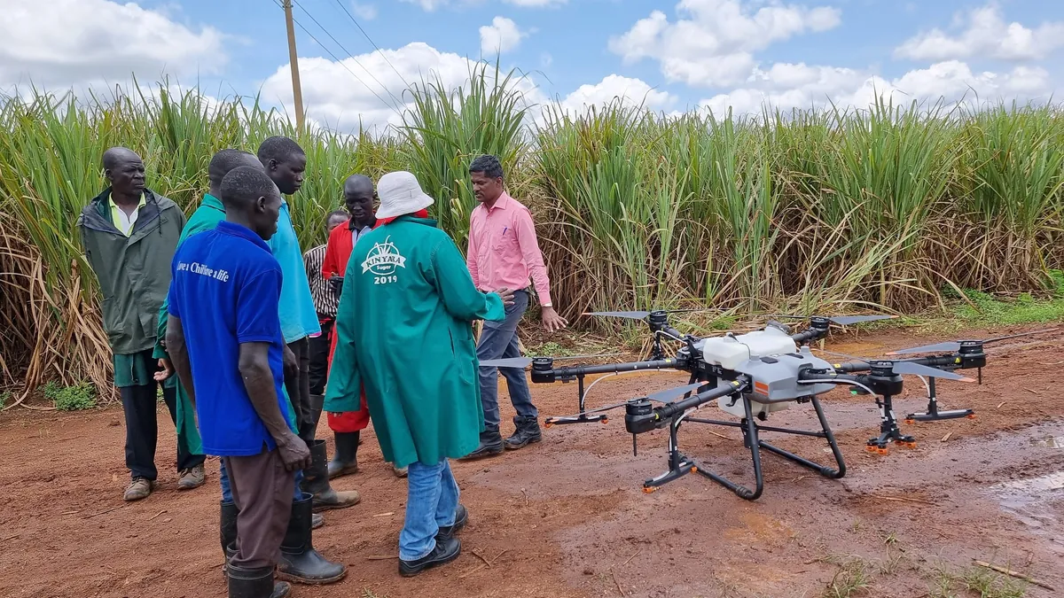
Agricultural drone demonstration over a commercial sugarcane estate.
03

Multispectral Drone Imagery for Precision Crop Health Optimization

The ChallengeCommercial sugarcane plantations applying uniform blanket fertilizer treatment risk over-fertilizing fertile sectors while under-treating compromised blocks.
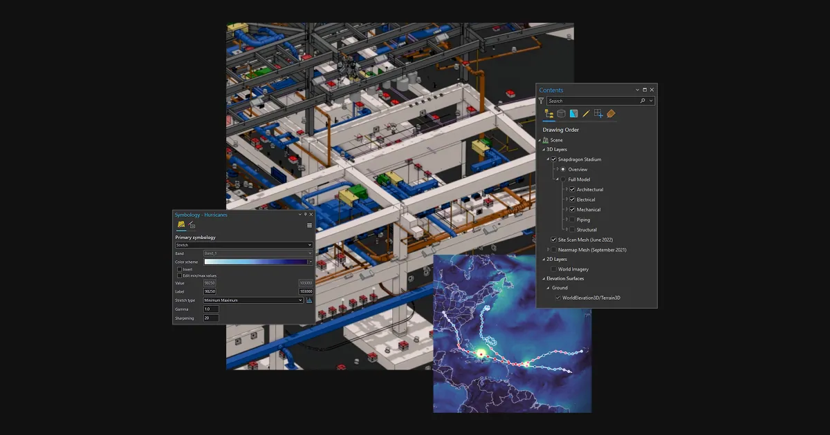
The SolutionHigh-resolution multispectral drone flights generate Normalized Difference Vegetation Index (NDVI) analytics in ArcGIS Pro, producing prescription variable-rate application maps by block.
What This DeliversTargeted, data-driven fertilizer application in place of blanket treatment — reducing input waste and supporting healthier, more consistent crop stands.
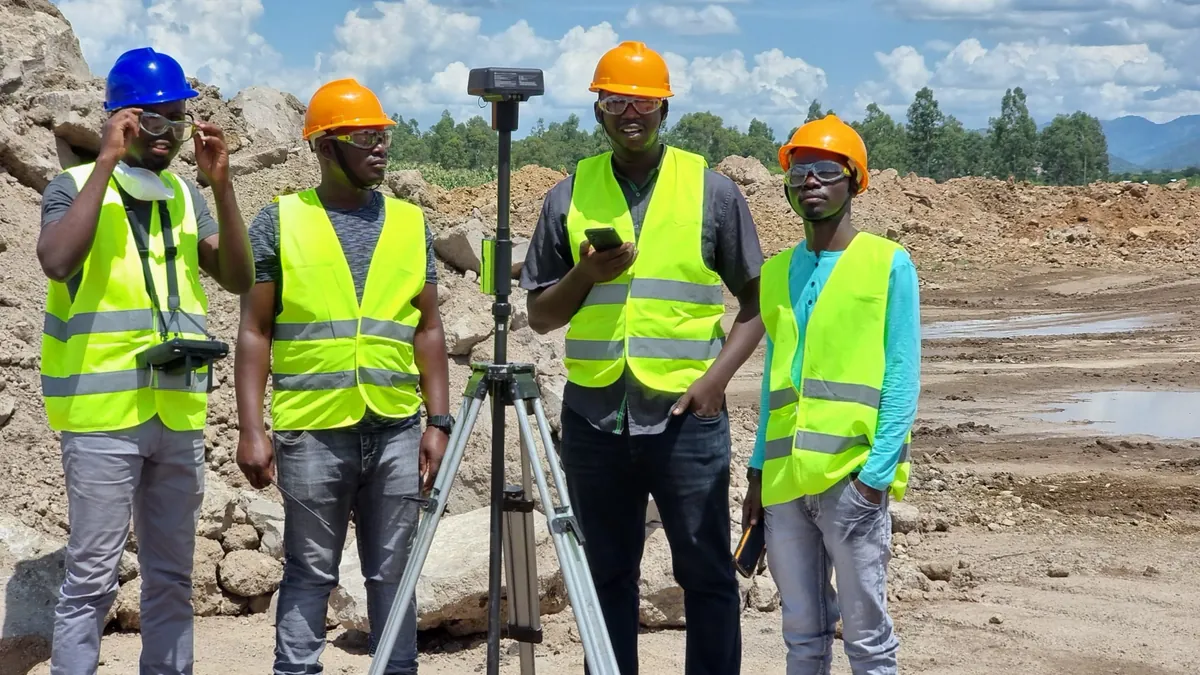
KACO survey team with GNSS rover on a civil infrastructure corridor.
04

Highway Corridor Stakeout & As‑Built Verification

The ChallengeContractors need to stake out centerline alignment points quickly while verifying earthwork layers against tight design tolerances to avoid costly rework.
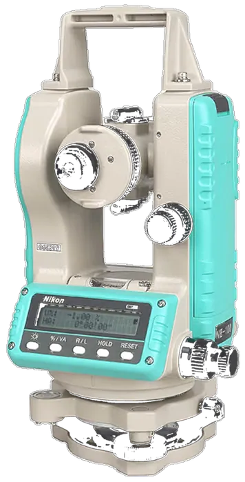
The SolutionTrimble S-Series robotic total stations paired with Trimble TSC7 controllers running the Trimble Access Roading module, allowing one-person operation directly from CAD alignment files.
What This DeliversFaster daily stakeout with one-person operation, and as-built verification data that supports compliance sign-off against design tolerances.
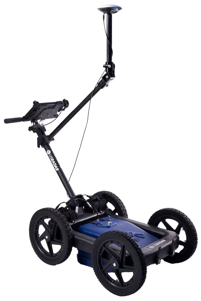
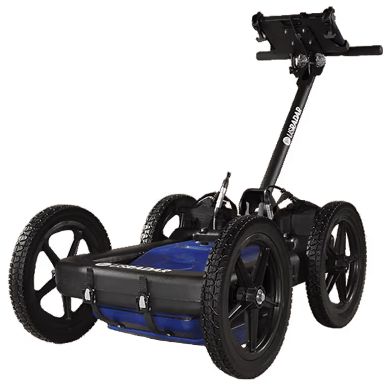
US Radar GPR Rover ground penetrating radar cart with a GNSS antenna on a pole.
05

Subsurface Utility Line Tracing & Fiber Optic Strike Prevention

The ChallengeExpanding urban roads without reliable historical as-built drawings risks severing live power cables, pressurized water mains, and optical fiber lines during excavation.
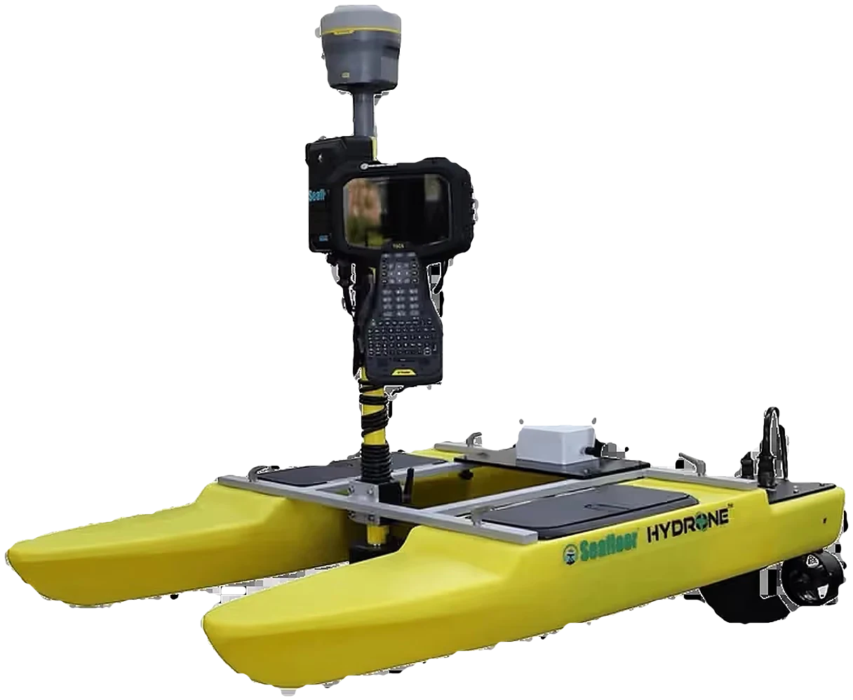
The SolutionUS Radar ground penetrating radar (GPR) coupled with Trimble Catalyst GNSS. Radargram cross-sections are converted into georeferenced 3D utility vectors.
What This DeliversGeoreferenced utility maps that reduce excavation risk and integrate directly into municipal spatial data infrastructure for future maintenance planning.

Trusted By Leading Institutions Across East Africa

World Food Programme (WFP)
UN OCHA
UN OCHA
MTN Uganda
MTN Uganda
Wildlife Conservation Society
National Forestry Authority (NFA)
Private Sector Foundation Uganda
USAID
USAID
UNDP
UNDP
IOM
IOM
UNICEF
UNICEF
Uganda Electricity Transmission (UETCL)
AMREF Health Africa
AMREF Health Africa
WWF
WWF
National Environment Management (NEMA)
Uganda Bureau of Statistics (UBOS)
Umeme
Umeme
Kampala Capital City Authority (KCCA)
Uganda Wildlife Authority (UWA)

Bring Proven Precision To Your Next Project

Whether you need equipment supplied, field crews trained, or turn-key survey consulting delivered to the highest standards, KACO is ready to partner with you.