

Industries

Tailored Geospatial Workflows For African Industry

Every sector faces unique physical, regulatory, and topographical demands. We configure specialized hardware, analytics, and lifecycle services to ensure maximum accuracy and operational return on investment.

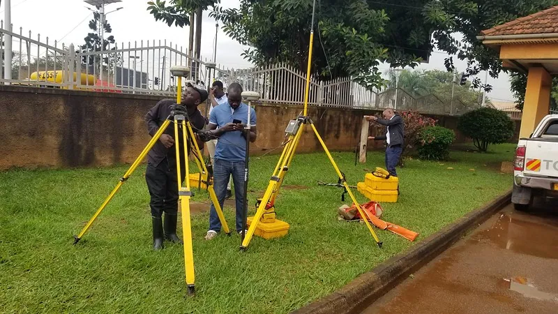
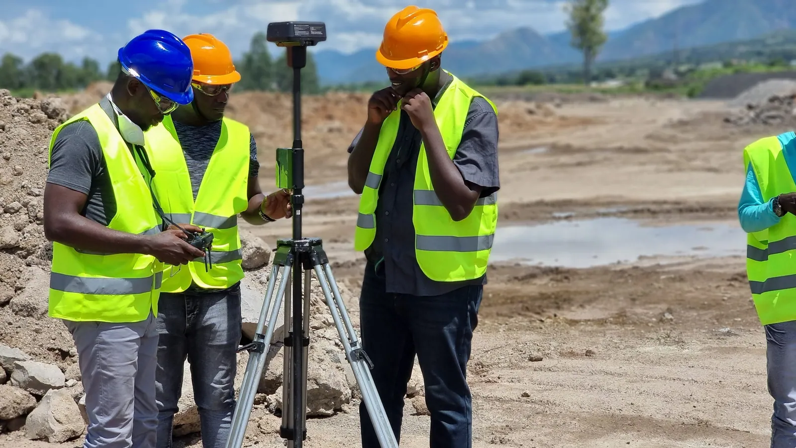
GNSS survey equipment set up on an active construction site.

Six Sectors. One Certified Partner.

From open-pit mines to disaster-response zones, we engineer workflows that match the terrain, regulation, and risk profile of each sector we serve.

DJI Enterprise drone surveying a quarry pit for volumetric auditing.
01

Mining, Quarrying & Heavy Earthworks

Overcome the hazards and slow turnaround of manual pit surveys. KACO equips mining companies with autonomous drone LiDAR for rapid stockpile volumetric reconciliation, Trimble robotic total stations for highwall slope deformation monitoring, and Carlson Mining software for drill-and-blast design.

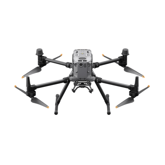
  • Volumetric AuditingMonthly cut/fill calculations with sub-5cm accuracy using DJI Matrice 350 RTK & Zenmuse L2.
  • Pit Wall SafetyContinuous deformation and prism monitoring with Trimble S-Series robotic stations.
  • Mine Geology ModelingCarlson Geology & Mine Design software integration.
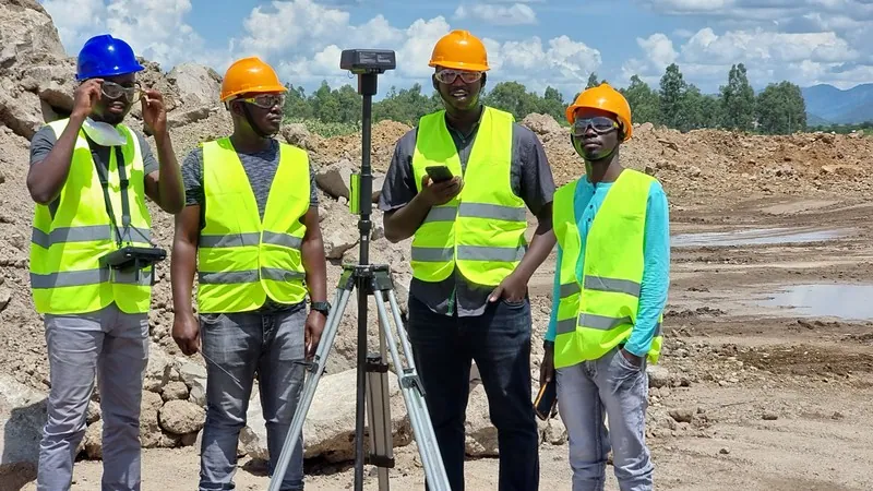
Civil engineering survey team with Trimble GNSS on an active road site.
02

Civil Engineering & Highway Construction

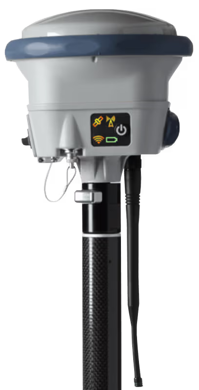
Deliver complex linear corridors and structural bridges strictly within engineering tolerances. We supply Trimble R12i GNSS receivers, machine control positioning systems, and 3D laser scanners that allow site engineers to verify as-builts directly against 3D BIM models in real time.

  • Corridor StakeoutHigh-speed road centerline & batter stakeout with Trimble Access Roading.
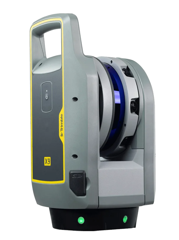
  • Structural As-Built VerificationTrimble X7 3D laser scanning for bridges, culverts, and tunnels.
  • BIM InteroperabilitySeamless point cloud import into Autodesk Civil 3D and Revit.
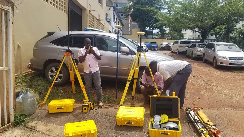
KACO survey team conducting geodetic control survey with Trimble GNSS on tripods.
03

Land Administration, Titling & Cadastre

Accurate land records are the foundation of national economic development. KACO establishes national and regional geodetic control networks (CORS), executes legal cadastral boundary surveys, and configures Esri ArcGIS Enterprise land registry databases for municipal and government authorities.

  • CORS Network EstablishmentMulti-frequency reference stations for continuous RTK corrections.
  • Boundary FormalizationSub-centimeter Trimble GNSS static and RTK parcel surveys.
  • Spatial Land RegistriesSecure, searchable parcel databases built on Esri Parcel Fabric architecture.
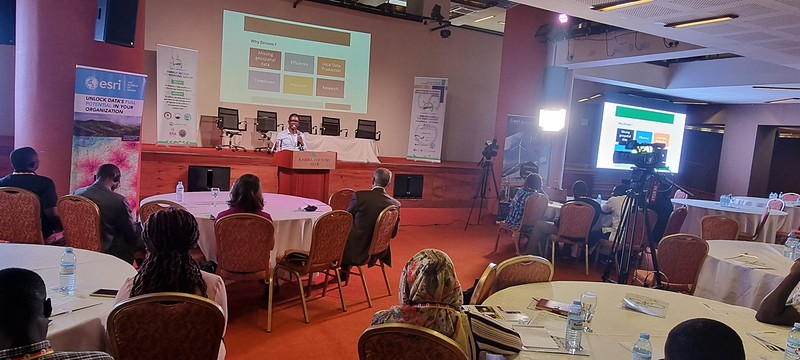
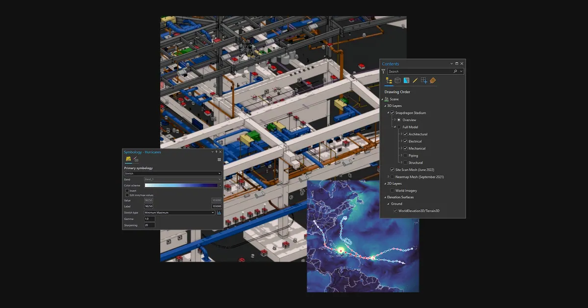
Technical GIS presentation on asset management for utility corridors.
04

Utilities, Energy & Telecom Corridors

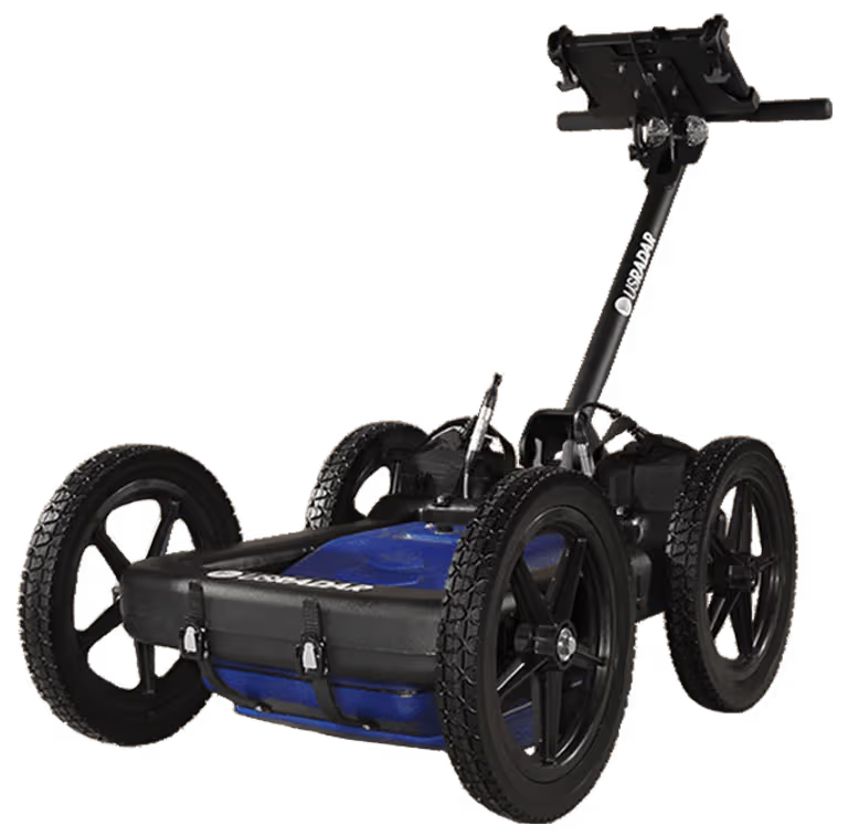
Protect existing underground assets and model overhead networks. We combine US Radar Ground Penetrating Radar (GPR) for detecting buried pipes and fiber optic cables with drone LiDAR for mapping high-voltage transmission line vegetation clearances.

  • Subsurface Utility Engineering (SUE)Triple-frequency GPR scanning eliminates strike hazards.
  • Transmission Line ModelingAerial LiDAR identifies tree encroachment and conductor sag.
  • Asset GeodatabasesEsri Utility Network deployment for water, power, and telecom operators.
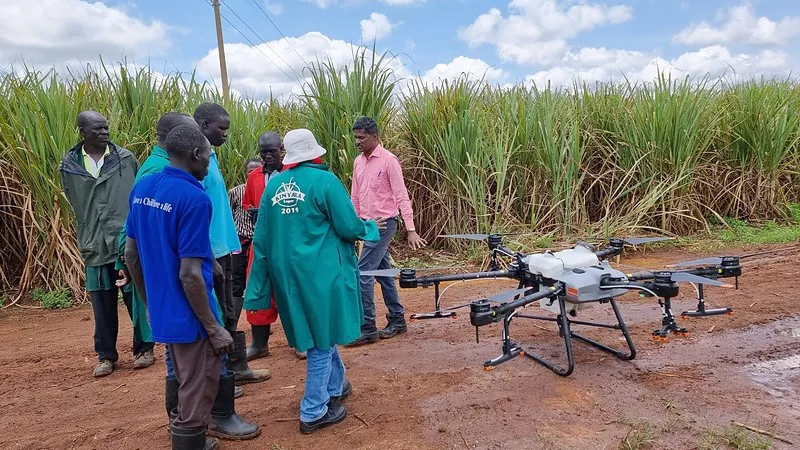
Field demonstration of precision agricultural drone at a sugarcane plantation.
05

Commercial Agriculture, Forestry & Environment

Maximize crop yields and monitor forest concessions with precision multispectral drone analytics. KACO delivers multispectral mapping to generate NDVI plant vigor indices, identify irrigation failures, and optimize variable-rate fertilizer distribution across large agricultural estates.

  • NDVI Crop ScoutingDetect crop stress and disease weeks before visible to the naked eye.
  • Prescription MappingGenerate automated variable-rate spraying and fertilizer application maps.
  • Forest Biomass EstimationHigh-density drone LiDAR measures tree canopy height and timber volume.
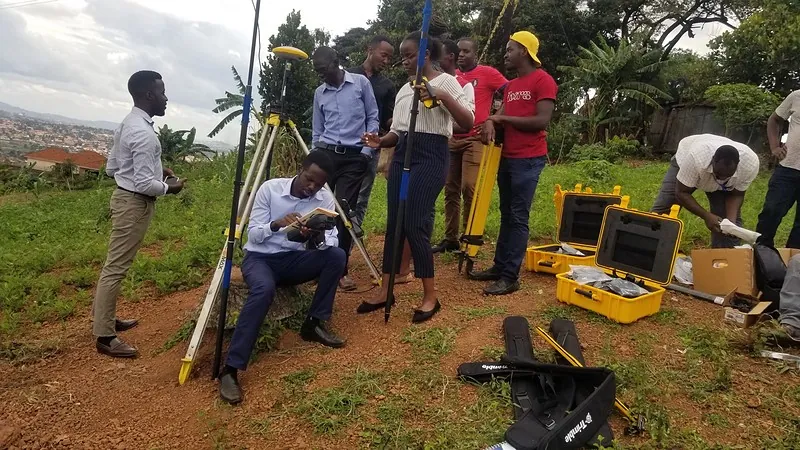
KACO trainers conducting geospatial capacity building overlooking Kampala.
06

Public Safety, Disaster Response & Humanitarian Aid

Rapid decision-making saves lives. KACO partners with UN agencies, international NGOs, and government ministries to deliver rapid drone damage mapping, flood risk modeling, refugee settlement spatial planning, and field data collection architectures with ArcGIS Survey123.

  • Rapid Post-Disaster MappingGenerate orthomosaics of flood or landslide zones within hours.
  • Settlement Micro-PlanningDigital elevation models to plan drainage, water points, and shelters.
  • Mobile Survey WorkflowsOffline field data collection for humanitarian needs assessments.