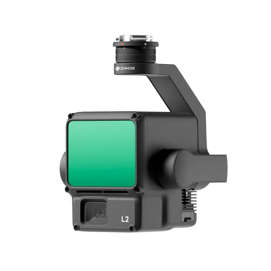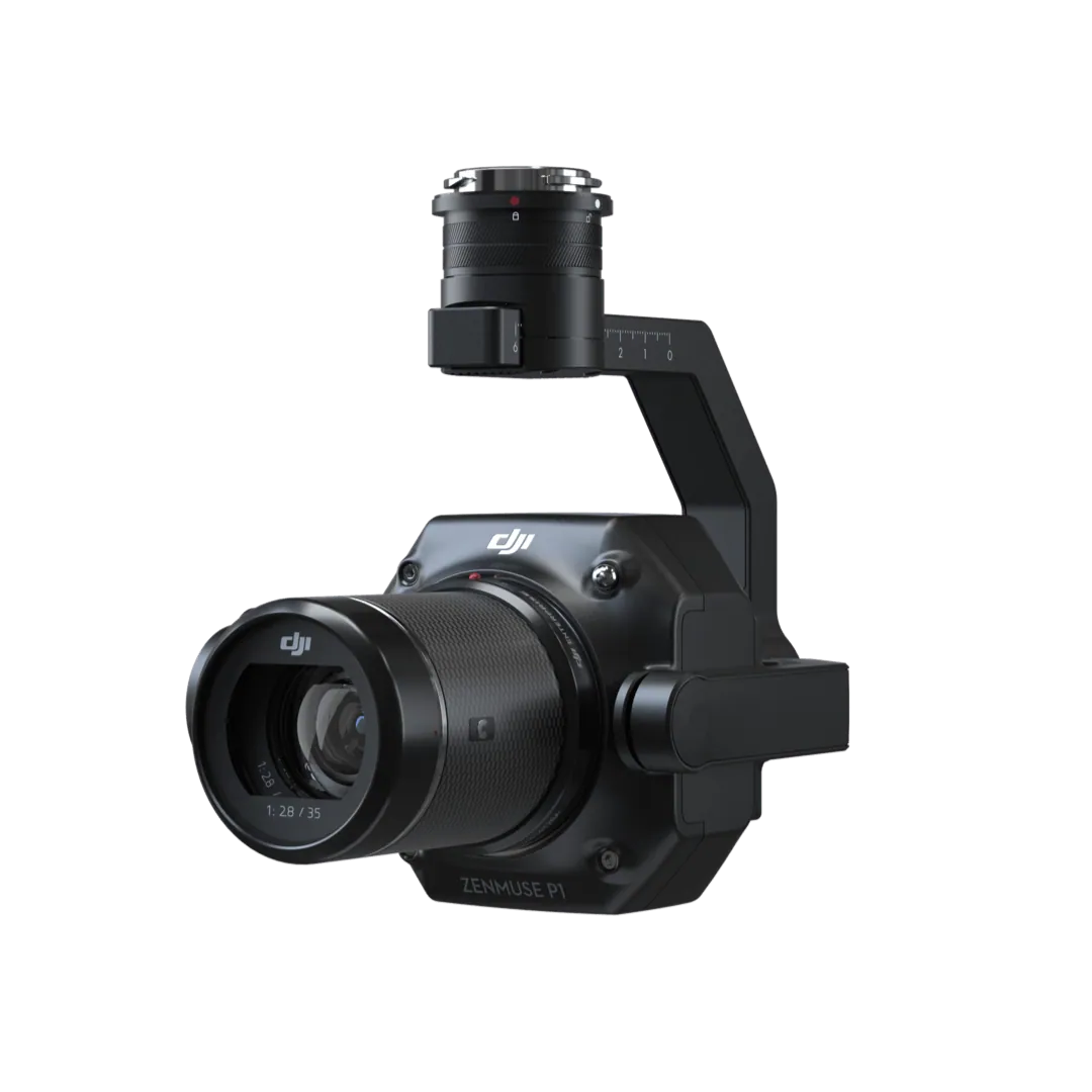









Zenmuse L3: long-range, high-accuracy aerial LiDAR
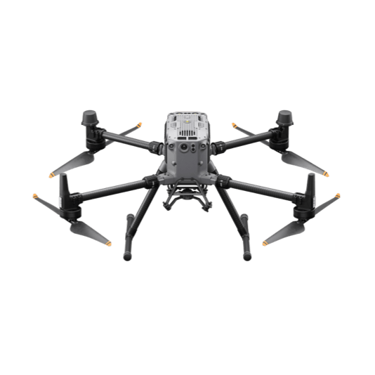
DJI's first long-range LiDAR system pairs a 1535 nm sensor reaching up to 950 m with dual 100MP mapping cameras and a high-precision POS, covering up to 100 km² a day on the Matrice 400.
Learn more
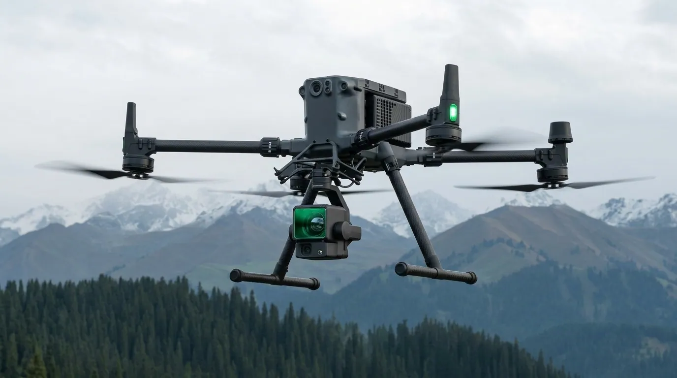
DJI's first long-range LiDAR system pairs a 1535 nm sensor reaching up to 950 m with dual 100MP mapping cameras and a high-precision POS, covering up to 100 km² a day on the Matrice 400.
Learn more

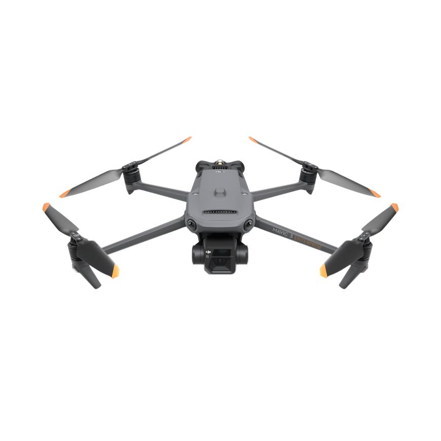
See how DJI Enterprise drones work in the field.
Three ways DJI Enterprise puts aerial intelligence to work.

Give responders accurate, timely aerial intelligence to better serve their communities.
Learn more
Digitize assets and manage projects with drone mapping, photogrammetry and LiDAR.
Learn more
Safely inspect and manage assets, equipment and infrastructure from the air.
Learn moreDJI's current enterprise line-up, supplied and supported by KACO Systems across Uganda and East Africa.
Aerial tools for your daily tasks

Engineered for excellence, designed for versatility

Fully powered to forge ahead

The age of intelligent flight

Portable mapping and inspection
Gather data from multiple angles

See through, far and true

Integrated LiDAR and RGB for surveying

Full-frame photogrammetry
Remote drone operation, for roads less traveled

Rise to any challenge
Create digital transformation

Fly with cloud intelligence
Expand your capabilities

For the priceless below

Reach farther, stay aware

Explore new features and courses to optimize your aerial workflows and boost productivity.
Learn more
Read real-world case studies and the latest updates.
Learn more
An accident protection solution that gives you and your business peace of mind.
Learn more
Fly safely and responsibly with the latest tips, regulatory links and instructional videos.
Learn moreDrones are only as productive as the data workflow behind them. We back every platform with technical support, LiDAR/photogrammetry processing guidance, and certified pilot training.
Firmware updates, flight-planning guidance, and hands-on troubleshooting for Matrice, Mavic, and Zenmuse payloads operating across Uganda’s varied terrain and climate.
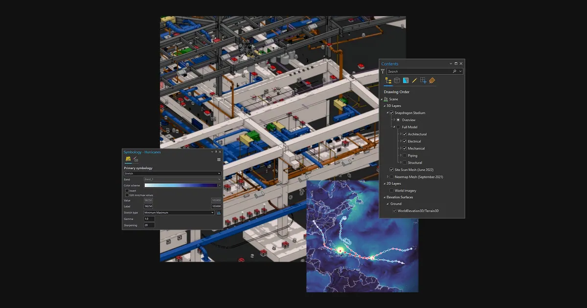
Guidance turning raw Zenmuse L3 point clouds and Mavic 3E imagery into deliverables — classified point clouds, DTMs/DSMs, and orthomosaics ready for CAD or GIS.
Structured, blended learning combining classroom theory with hands-on field practicals to build certified drone operators and LiDAR data handlers on your team.
Our application engineers help you match the right DJI Enterprise platform and payload to your project, with an on-site flight demonstration where useful.