Company news
Datamine announces acquisition of Commit Works
Adding operational planning capabilities to the Datamine portfolio for mines of every size.
Learn more
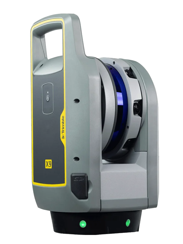 TrimbleGNSS · Total Stations · Scanning
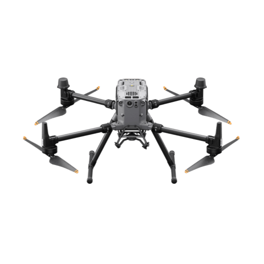 DJI EnterpriseDrones · LiDAR · Dock
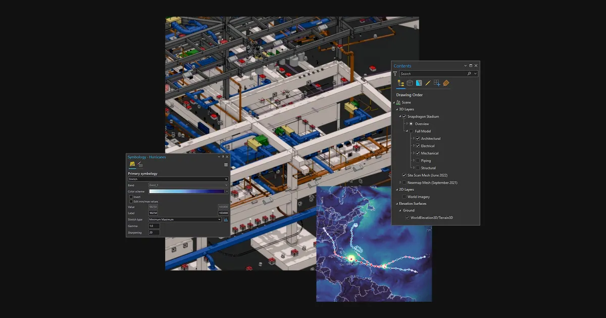 Esri ArcGISGIS & SDI
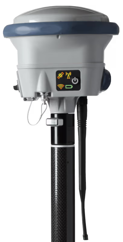 Spectra GeospatialGNSS & Robotic Stations
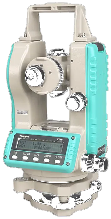 Nikon PrecisionOptical Survey
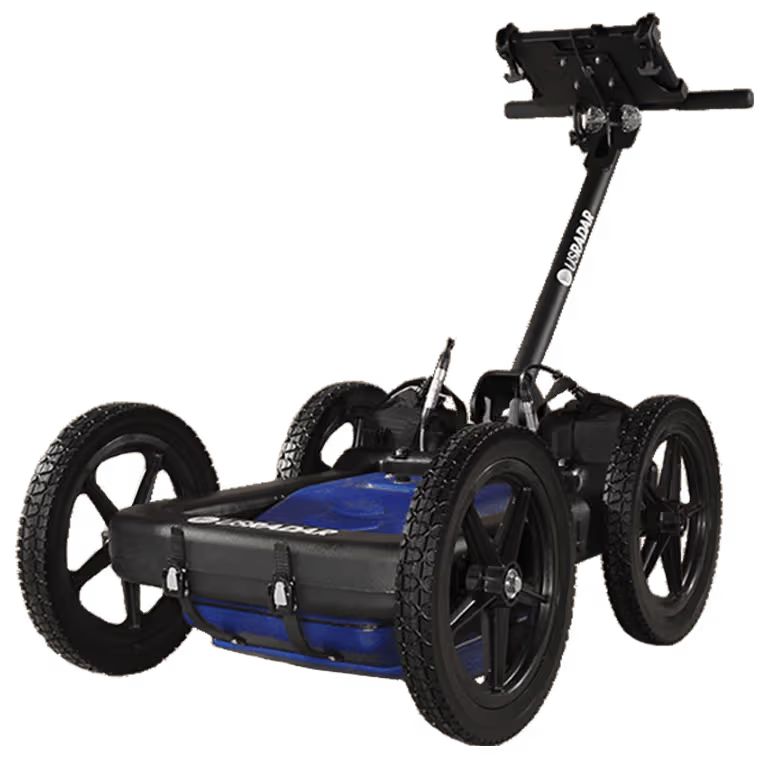 US RadarGround Penetrating Radar
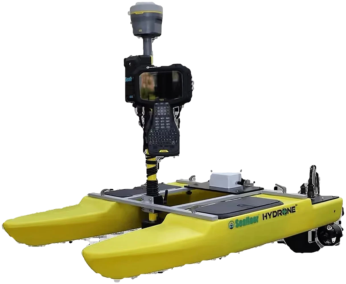 Seafloor SystemsHydrographic Survey
 Autodesk & CarlsonCAD & Field Software
 DatamineMine Geology Software
 IBM Tape StorageEnterprise Data Archive
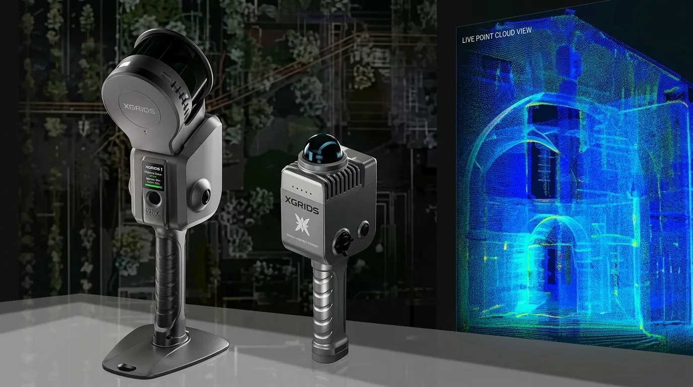 XGRIDSHandheld SLAM LiDAR



Adding operational planning capabilities to the Datamine portfolio for mines of every size.
Learn moreOfficial videos and webinars from Datamine Software.
Datamine software across the mining value chain.
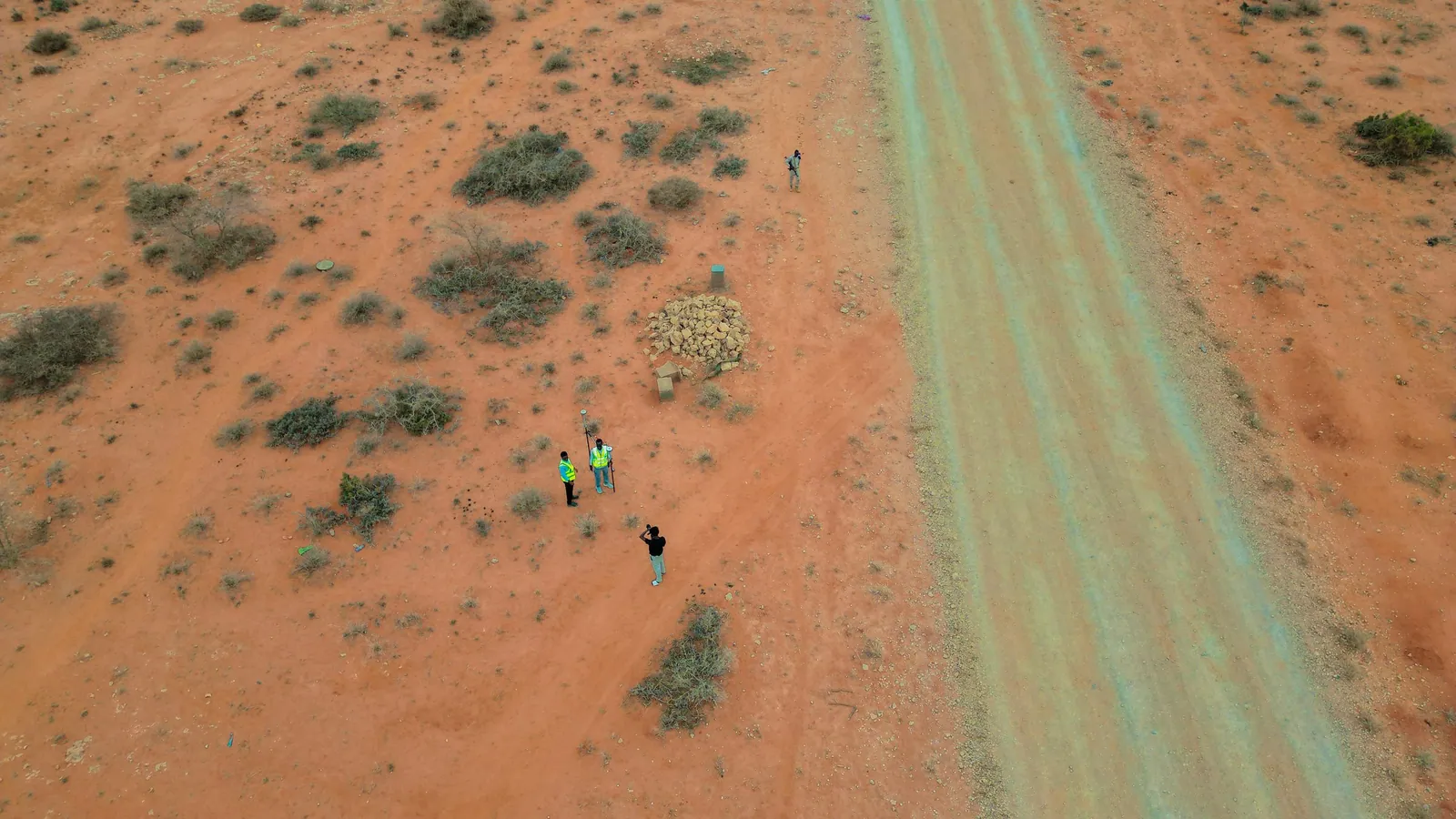
Interpret drilling and survey data to find and define the next resource.
Learn more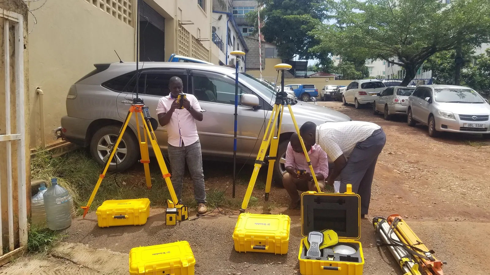
Resource estimation, ore control and geostatistics in one workflow.
Learn more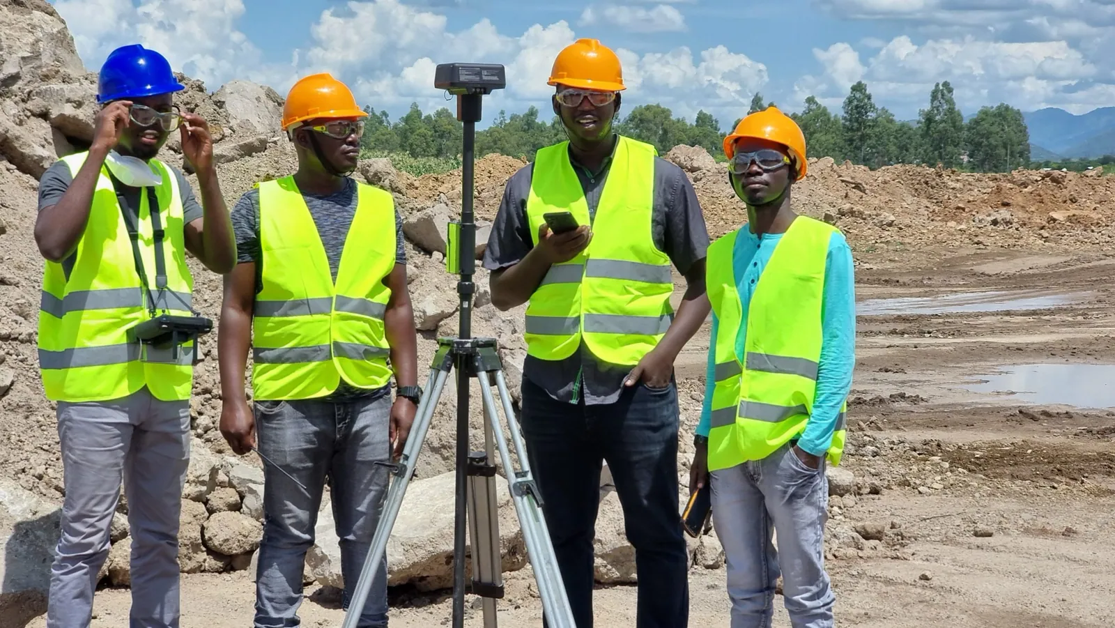
Design, scheduling and optimisation across short, medium and long horizons.
Learn more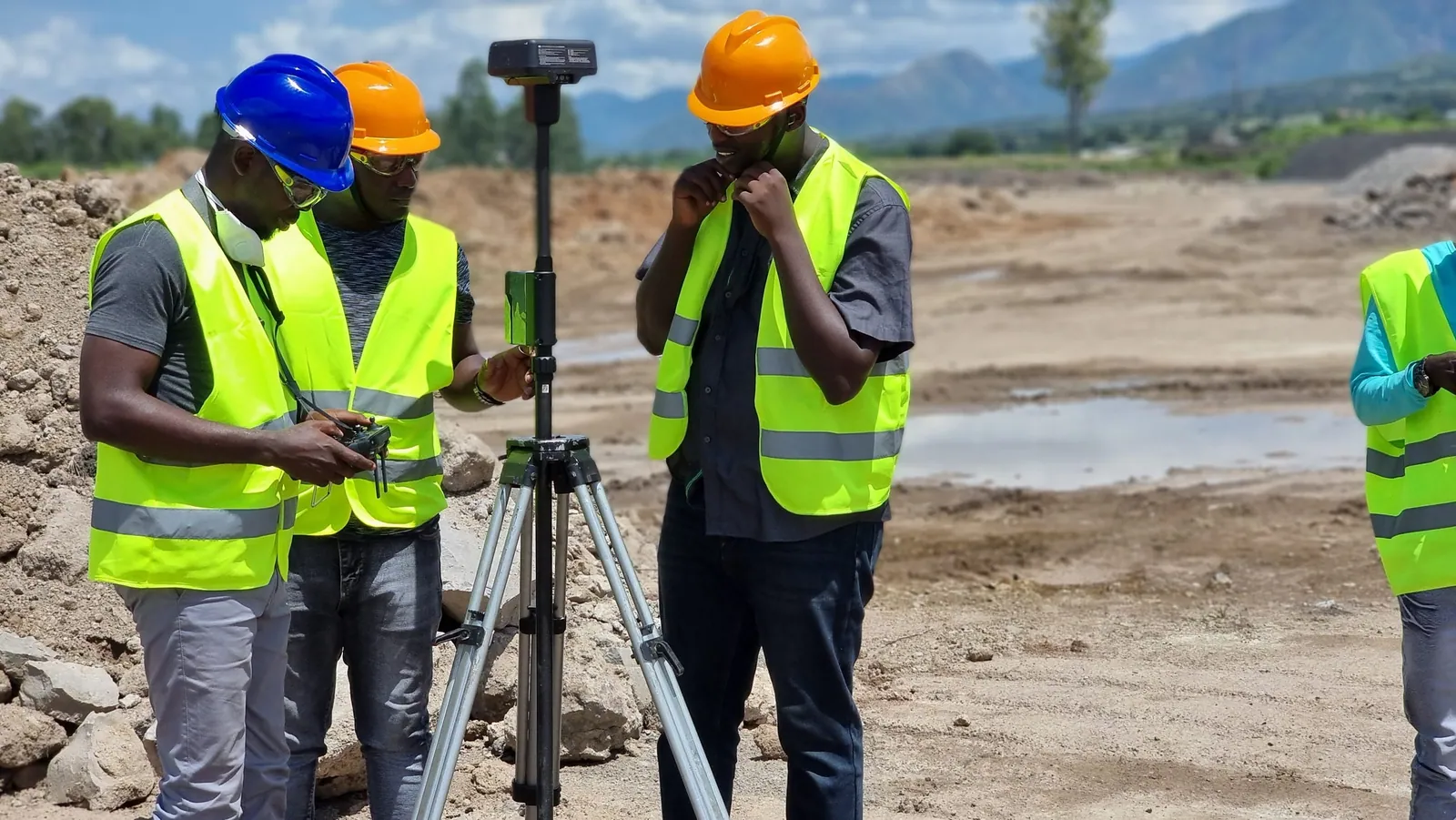
Reconcile and control production with mining intelligence across the value chain.
Learn moreGeology, estimation and mine optimisation, licensed and supported by KACO Systems.
Model, estimate and understand the orebody
A true reflection of the subsurface
Geological interpretation environment
Advanced geostatistical analysis
Mineralisation and variability analysis
From the pit face to the pit design
Photogrammetry-based mapping
Integrated mine mapping tools
Open-pit reserve preparation
See how mining teams get results with Datamine software.
Learn moreCourses, webinars and events from Datamine.
Learn moreTechnical support and resources for Datamine users.
Learn more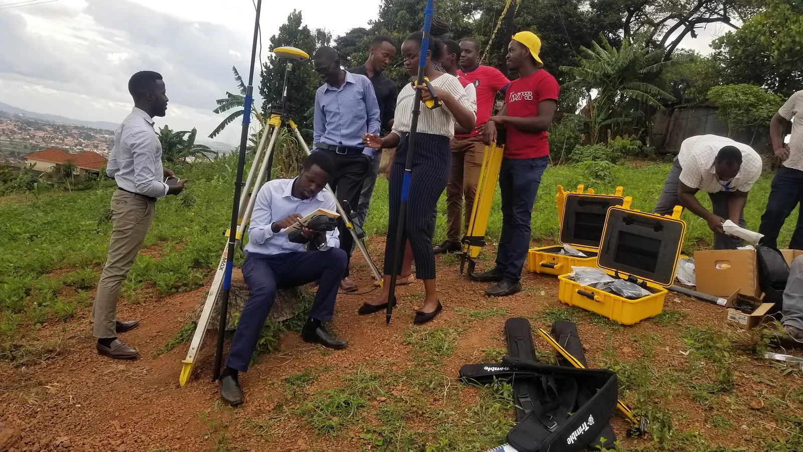
Practical courses in interpretation, geostatistics and estimation, delivered by KACO.
Learn moreWe pair Datamine software with our own Trimble GNSS and DJI drone LiDAR field capture — connecting real field data directly to your geology and resource models.
Licensing, installation, and workflow configuration for Datamine geology, resource modelling, and pit optimisation software.
Practical, hands-on courses in geological interpretation, geostatistics, and resource estimation for your mine geology team.
Dedicated technical support and licence administration so your geology software stays productive between site visits.
Our geology software specialists help you scope the right Datamine modules for your deposit type and mine planning stage.