


Services & support

Comprehensive Services & Certified Lifecycle Support

Our relationship begins when you acquire your system. Through our certified calibration laboratory, 24/7 technical HelpDesk, and hands-on Training Academy, we guarantee maximum equipment productivity and field uptime.

01

Certified Service & Calibration Centre

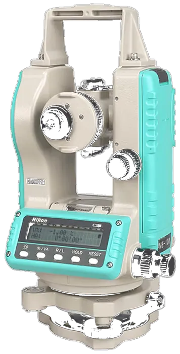
Our Kampala facility is equipped with optical collimators and electronic distance meter (EDM) baseline test benches to service and calibrate optical total stations, GNSS rovers, and levels.

  • Multi-collimator baseline optical adjustment
  • Laser EDM distance accuracy verification
  • Genuine OEM replacement parts & seals
  • Traceable calibration certificates issued
Book Equipment Service
02

Technical Support HelpDesk

Dedicated telephone, WhatsApp, and remote desktop support for field crews troubleshooting geoid coordinate systems, controller firmware, or drone flight planning in real time.

  • Direct telephone & field engineer assistance
  • Trimble Access & controller software upgrades
  • Local coordinate system & geoid file setup
  • Fast problem turnaround to prevent downtime
Contact HelpDesk Support
03

KACO Training Academy

Structured, blended learning combining classroom theory with hands-on field practicals to turn your staff into certified operators of GNSS, drones, and ArcGIS systems.

  • RTK GNSS & Robotic Total Station practicals
  • Commercial Drone Pilot & LiDAR post-processing
  • ArcGIS Pro, Enterprise & Field Maps courses
  • Custom corporate in-house upskilling
View Training Academy
04

Contract Survey & Engineering

Our licensed surveyors and geodesists execute turn-key high-consequence field campaigns across Uganda and the region when internal capacity is constrained.

  • Primary geodetic control networks & CORS
  • Corridor drone LiDAR & photogrammetry mapping
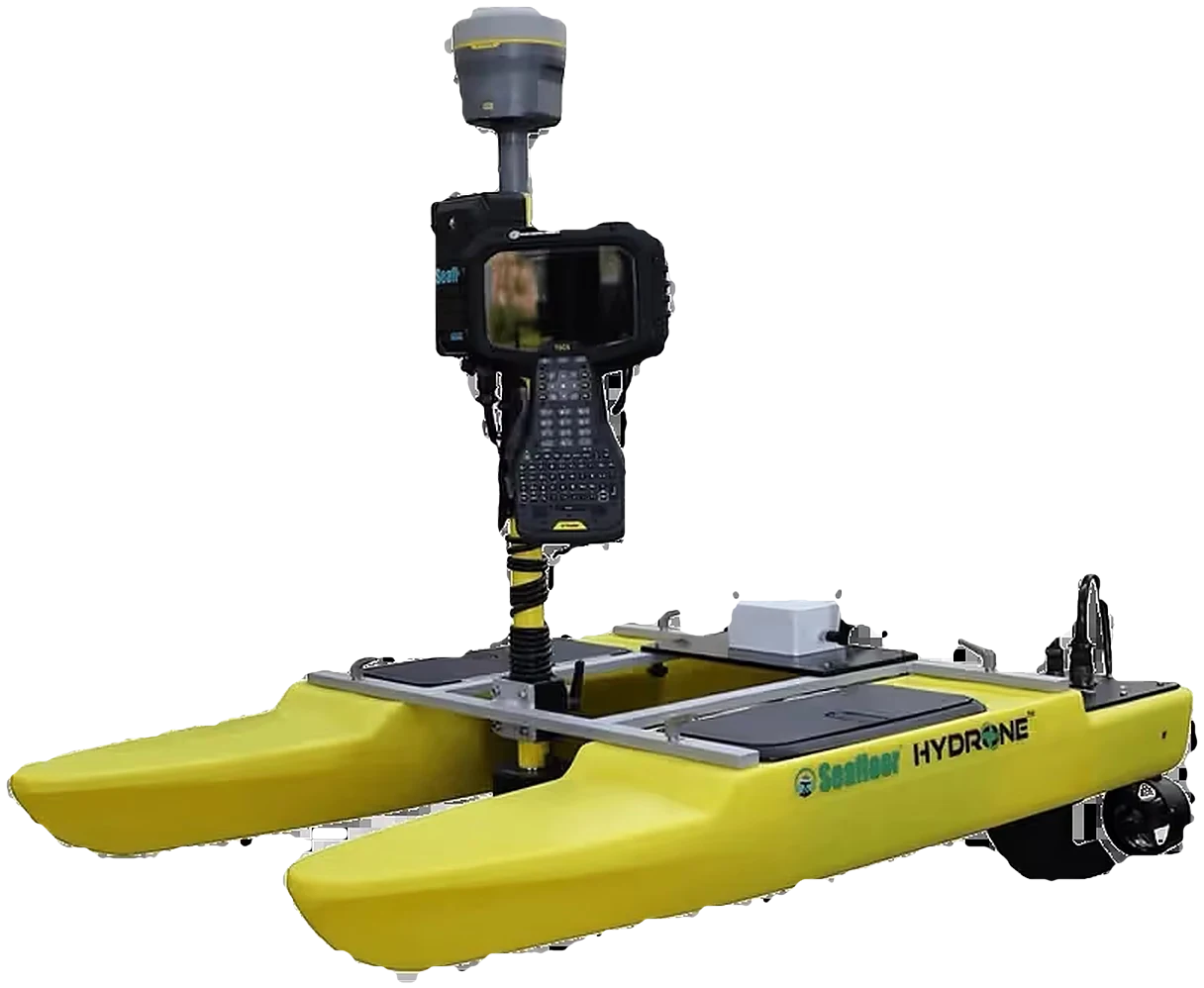
  • Bathymetric hydrographic sounding surveys
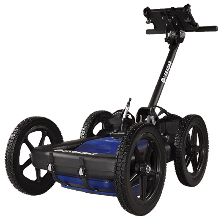
  • Underground utility detection with GPR
Request Survey Proposal
05

Spatial Data Infrastructure (SDI)

Deploying centralized enterprise GIS repositories, secure cloud geodatabases, and real-time telemetry pipelines connecting field teams to executive decision makers.

  • National & municipal SDI architecture
  • Enterprise geodatabase modeling & security
  • Real-time vehicle & IoT sensor tracking
  • Legacy database migration & cleansing
Consult an SDI Architect
06

KACO Technology Assurance Plan

Service level agreements (SLAs) designed to guarantee continuous productivity, priority repair queueing, and temporary loaner units during scheduled instrument servicing.

  • Guaranteed loaner equipment during major service
  • Annual preventative maintenance & calibration
  • Priority HelpDesk response with SLA commitments
  • Firmware maintenance & warranty protection
Inquire About Assurance Plans

Not Sure Which Technology Fits Your Requirements?

Our application engineers work with your team to review project specifications, recommend optimal hardware/software combinations, and arrange on-site demonstrations.