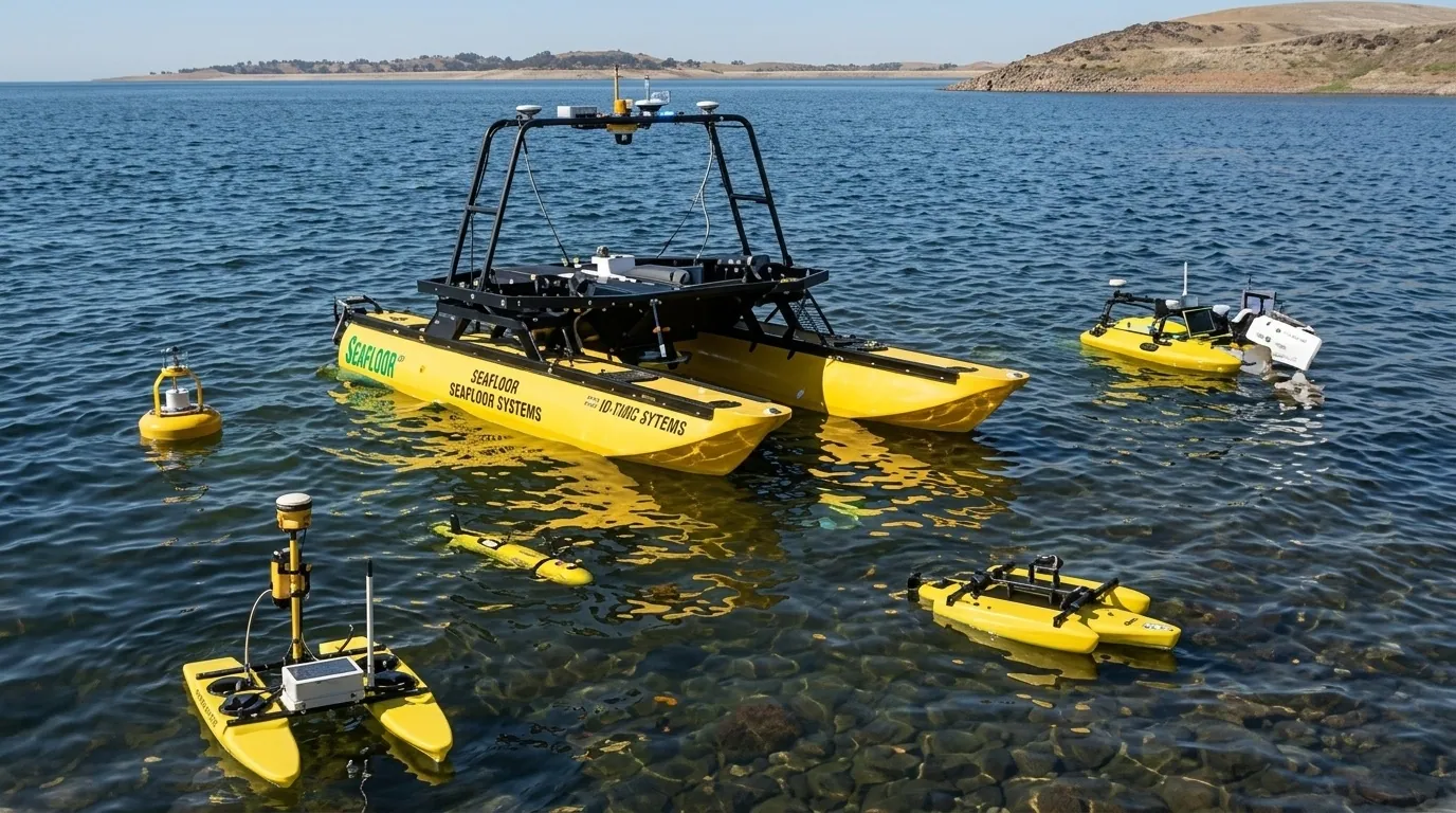
Survey vessels
EchoBoat-160: a compact unmanned survey vessel
Autonomous waypoint navigation, RTK GNSS integration and siltation volume auditing, without putting a crew on the water.
Learn more
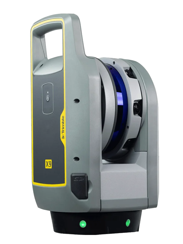 TrimbleGNSS · Total Stations · Scanning
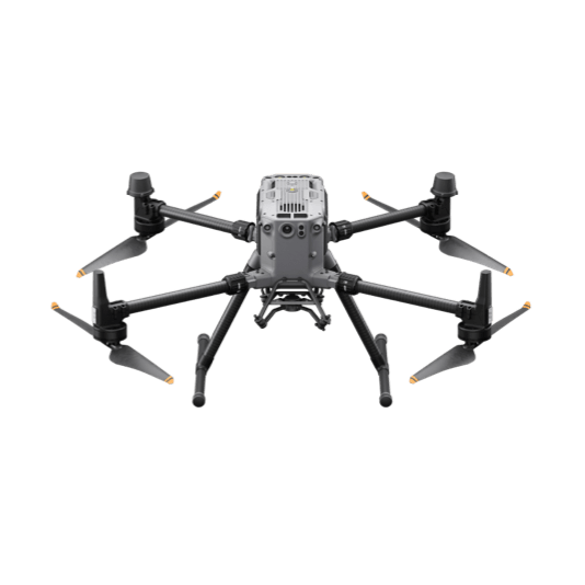 DJI EnterpriseDrones · LiDAR · Dock
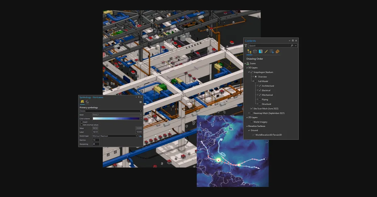 Esri ArcGISGIS & SDI
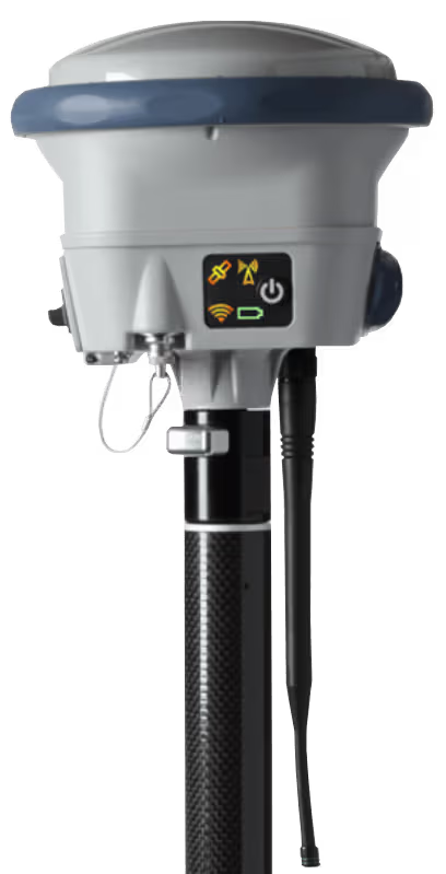 Spectra GeospatialGNSS & Robotic Stations
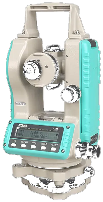 Nikon PrecisionOptical Survey
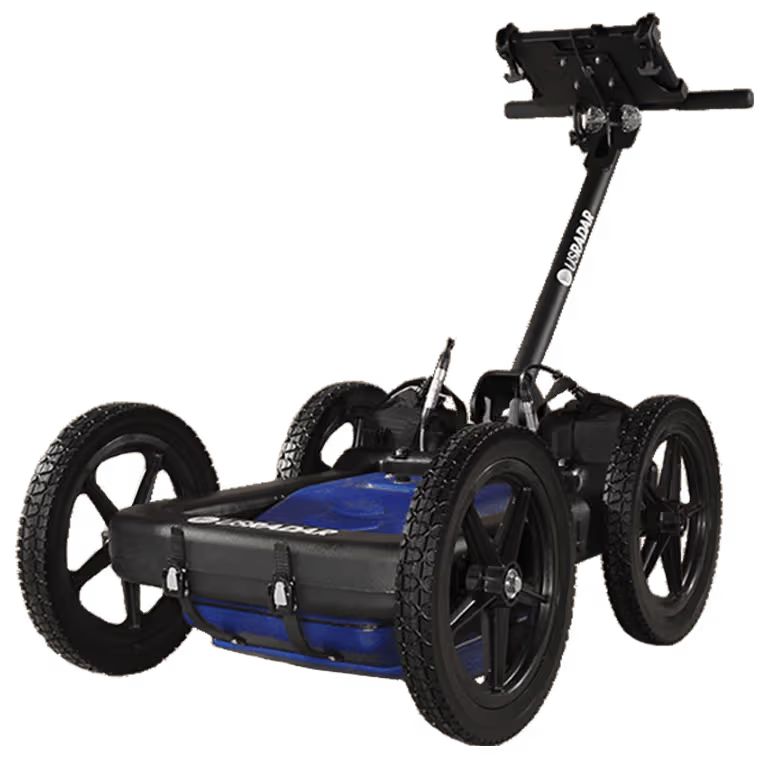 US RadarGround Penetrating Radar
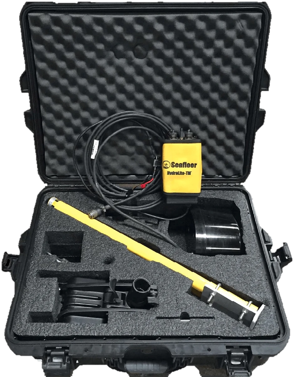
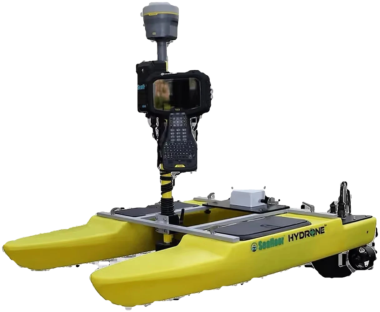 Seafloor SystemsHydrographic Survey
 Autodesk & CarlsonCAD & Field Software
 DatamineMine Geology Software
 IBM Tape StorageEnterprise Data Archive
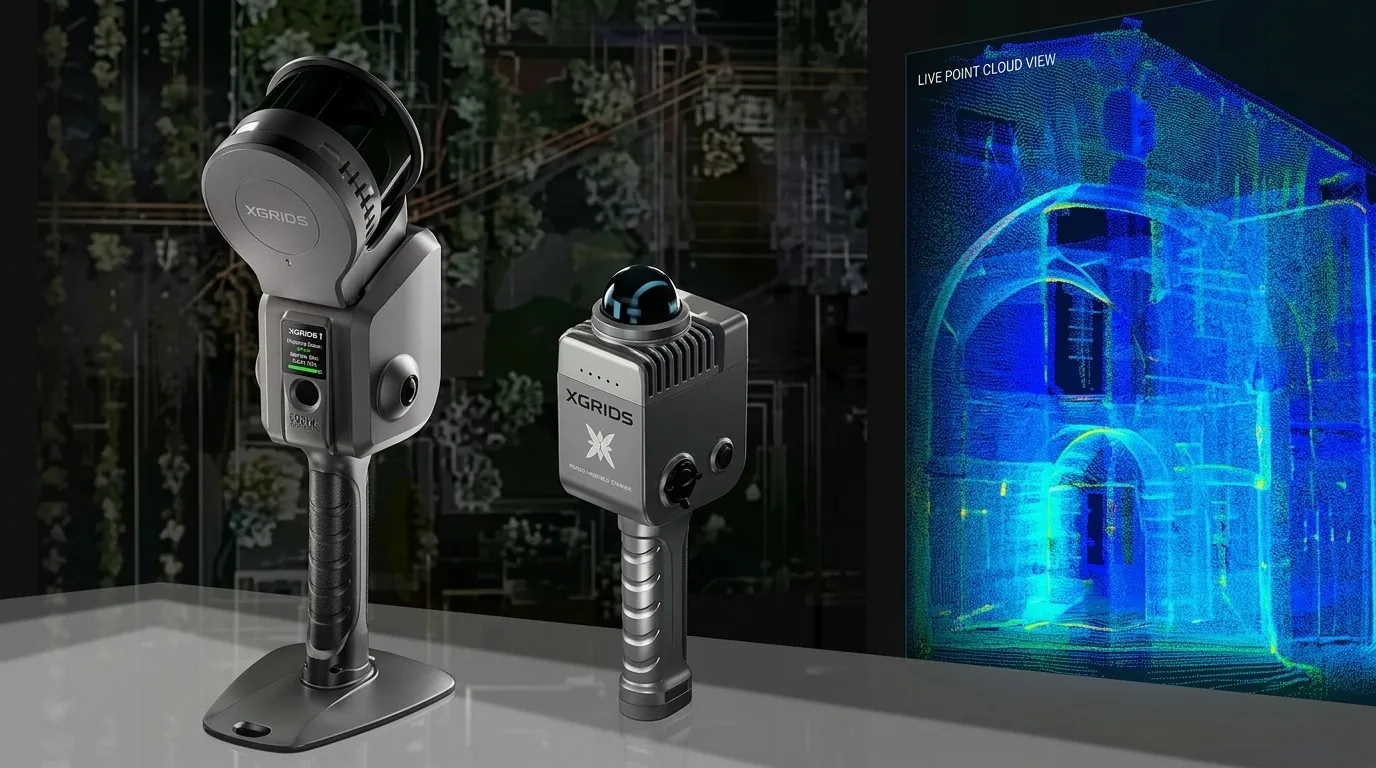 XGRIDSHandheld SLAM LiDAR
Autonomous waypoint navigation, RTK GNSS integration and siltation volume auditing, without putting a crew on the water.
Learn moreOfficial videos from Seafloor Systems.
Survey vessels and sensors, supplied and supported by KACO Systems.
Unmanned platforms for safe, repeatable bathymetry
Survey without a crew on the water
Hand-launchable and lightweight
Echosounders, sonar and data tools
Compact, low-power sensor
Set-up, calibration and survey walkthroughs from the Seafloor Systems team.
Learn moreMarine construction, hydrographic survey, hydrospatial and mining work.
Learn moreNews and technical articles from Seafloor Systems.
Learn more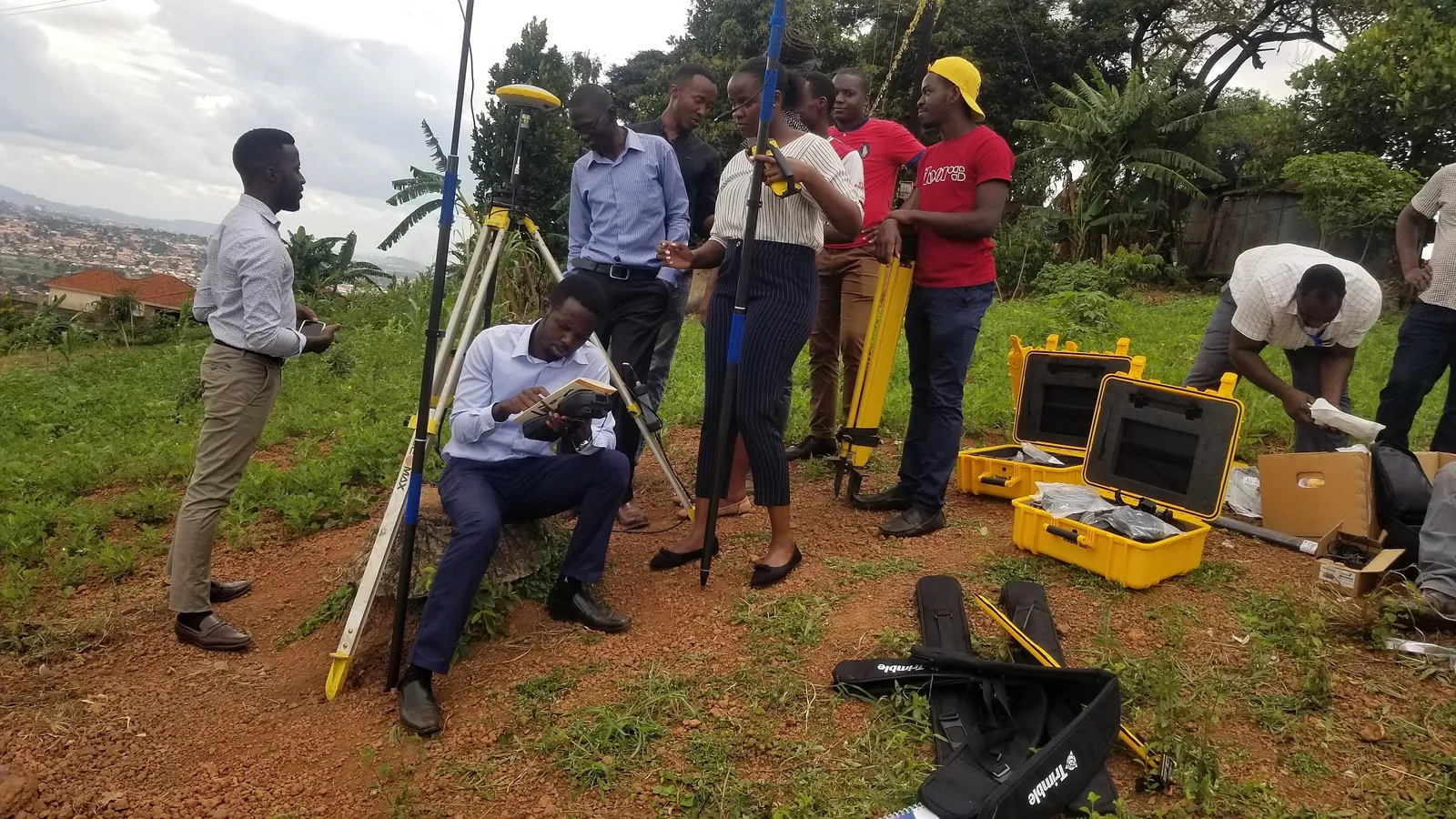
USV deployment, echosounder calibration and data processing, with our trainers.
Learn moreReservoirs, rivers, and harbours are unforgiving places to work. We back every Seafloor Systems platform with certified support and hydrographic survey training.
Autonomous and remote operation keeps survey personnel on dry land while the USV collects bathymetric data across open water, currents, or hazardous reservoirs.
Repeatable bathymetric surveys track reservoir and dam siltation over time, supporting dredging planning and hydropower asset management.
Hands-on training in USV deployment, echosounder calibration, and hydrographic data processing for your own field and office staff.
Our application engineers help you match the right Seafloor Systems platform to your reservoir, river, or harbour survey requirements.