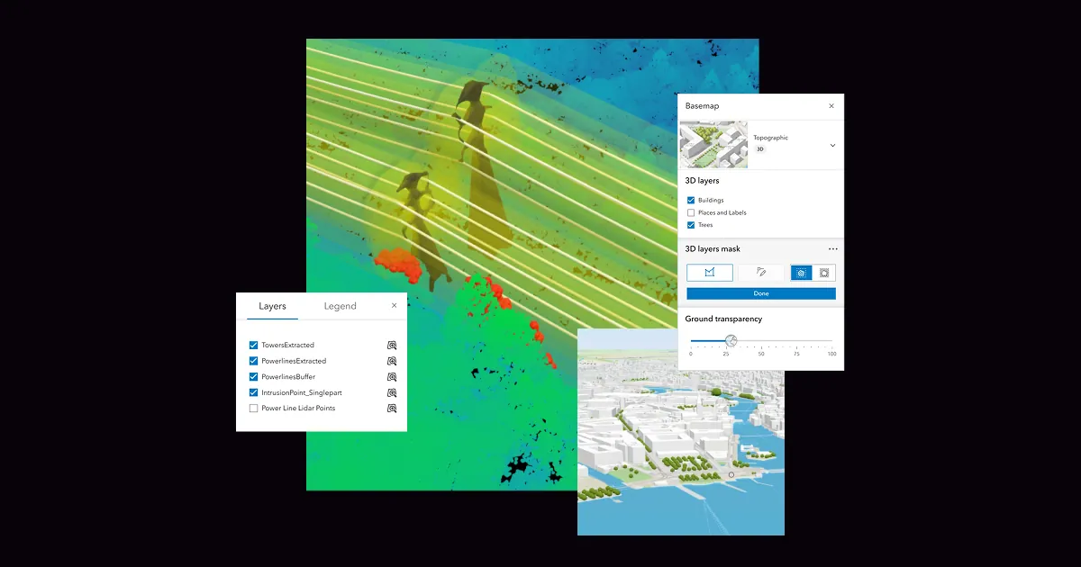
Digital twin
A 3D digital twin of Vietnam's busiest port
See how a live 3D model built on ArcGIS helps run one of the busiest ports in Vietnam.
Learn more
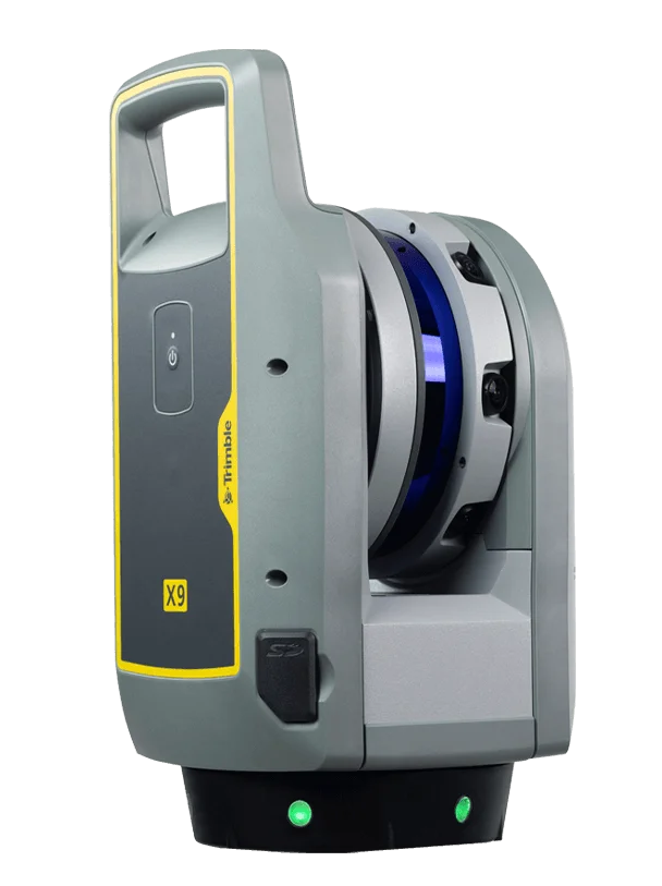 TrimbleGNSS · Total Stations · Scanning
 DJI EnterpriseDrones · LiDAR · Dock
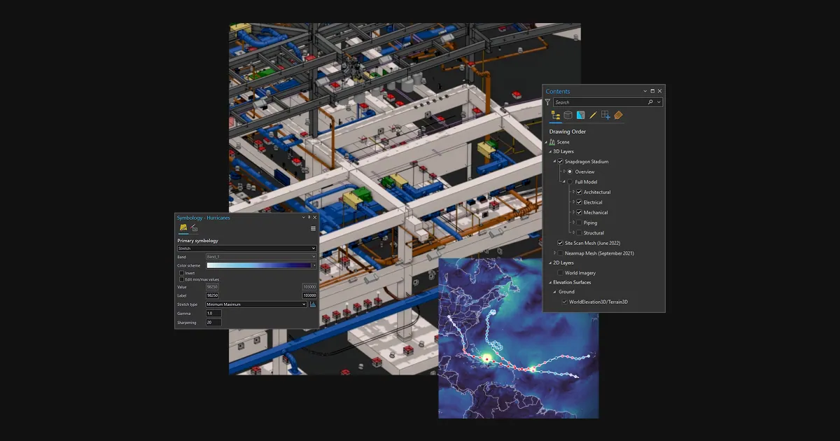 Esri ArcGISGIS & SDI
 Spectra GeospatialGNSS & Robotic Stations
 Nikon PrecisionOptical Survey
 US RadarGround Penetrating Radar
 Seafloor SystemsHydrographic Survey
 Autodesk & CarlsonCAD & Field Software
 DatamineMine Geology Software
 IBM Tape StorageEnterprise Data Archive
 XGRIDSHandheld SLAM LiDAR
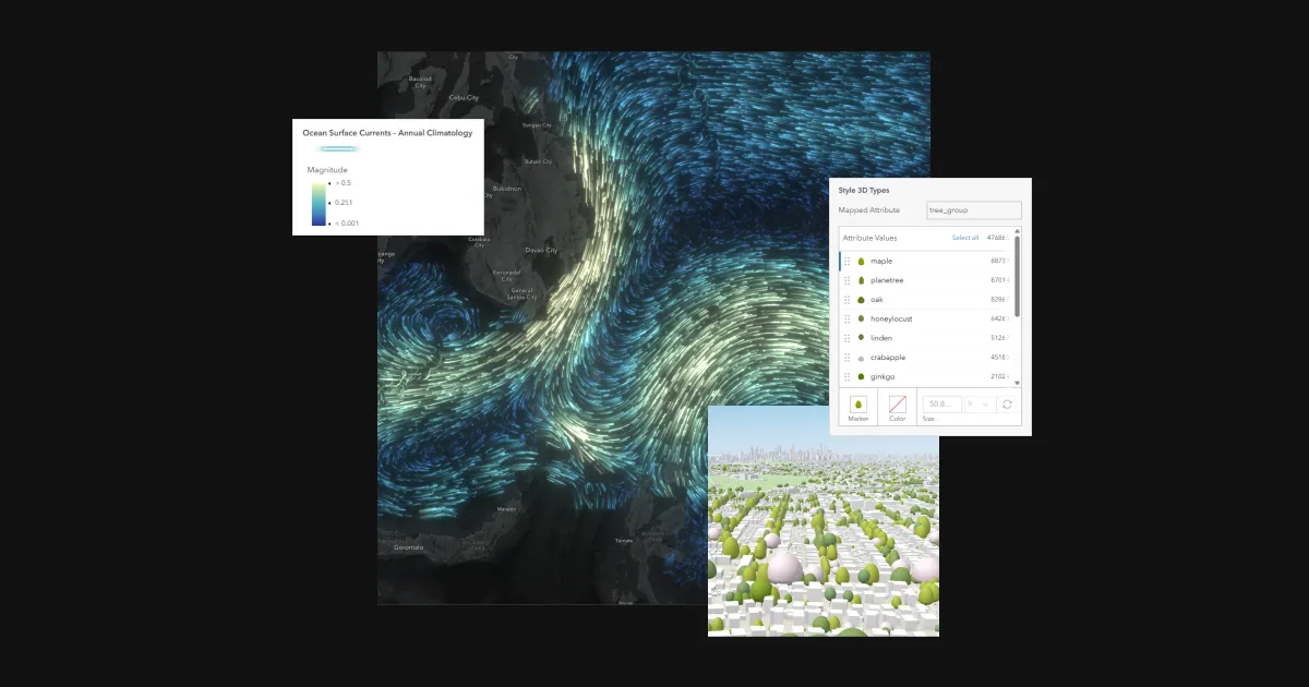
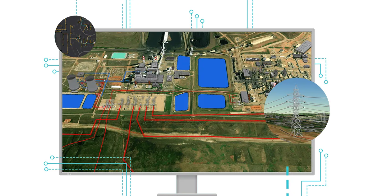
See how a live 3D model built on ArcGIS helps run one of the busiest ports in Vietnam.
Learn moreOfficial videos from Esri.
Where organizations put ArcGIS to work.
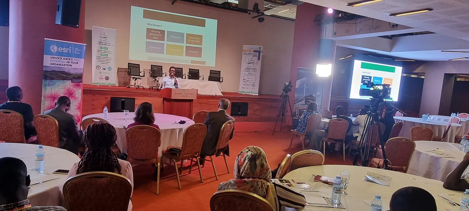
Planning, land administration and public services run on trusted location data.
Learn more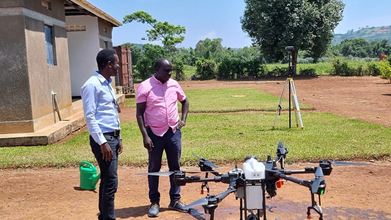
Model, trace and maintain power, water and telecom networks.
Learn more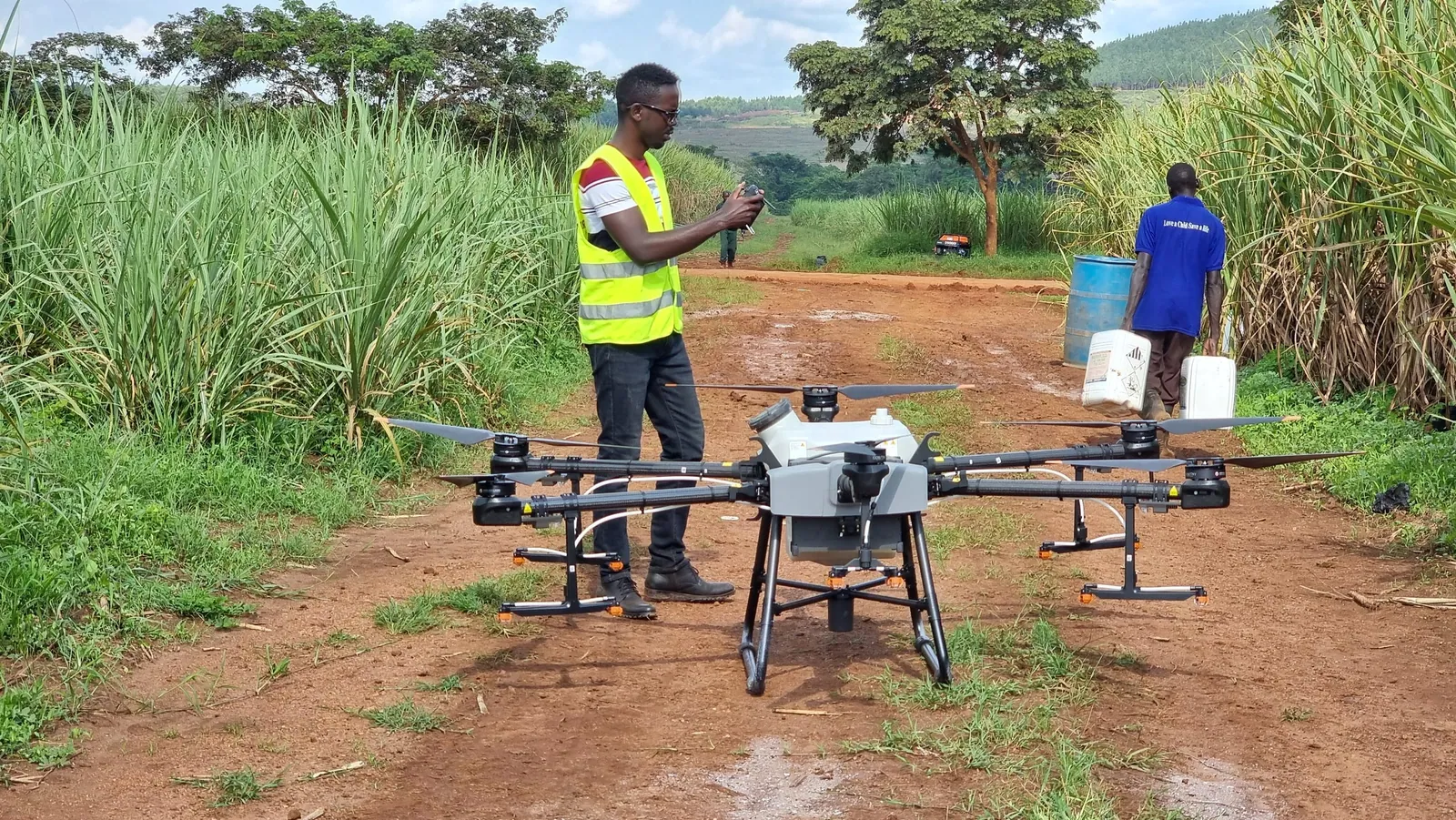
Monitor land, crops and resources from field to portfolio.
Learn more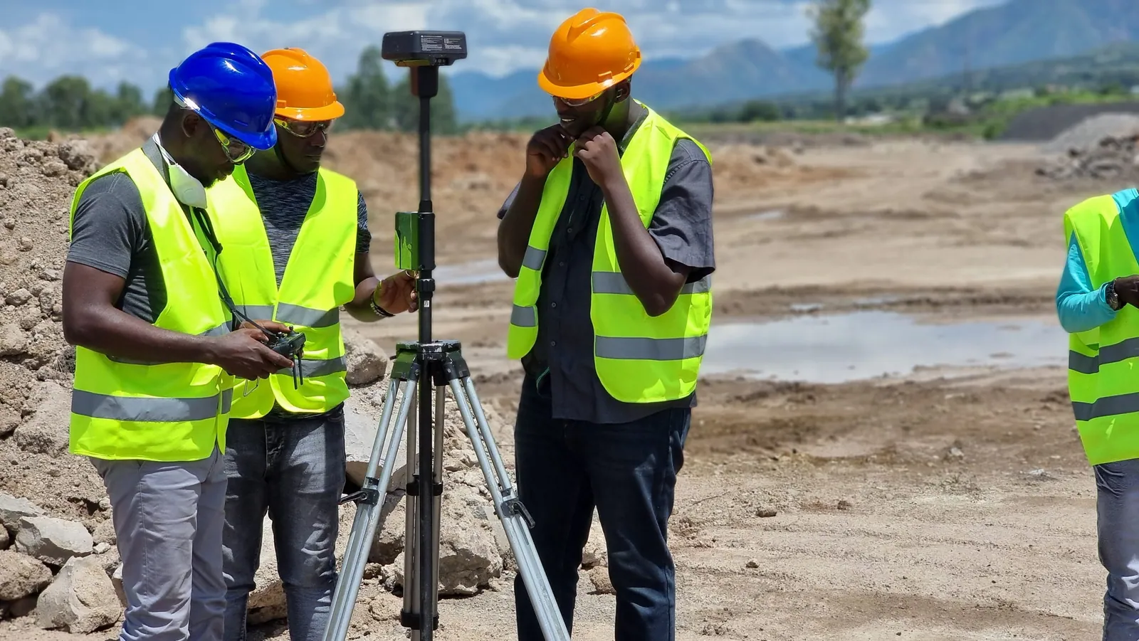
Connect design, survey and operations in one geographic view.
Learn moreLicensed, deployed and supported locally by KACO Systems.
Desktop, web and self-hosted GIS
The world's leading desktop GIS
Complete SaaS mapping platform
Your self-hosted GIS system
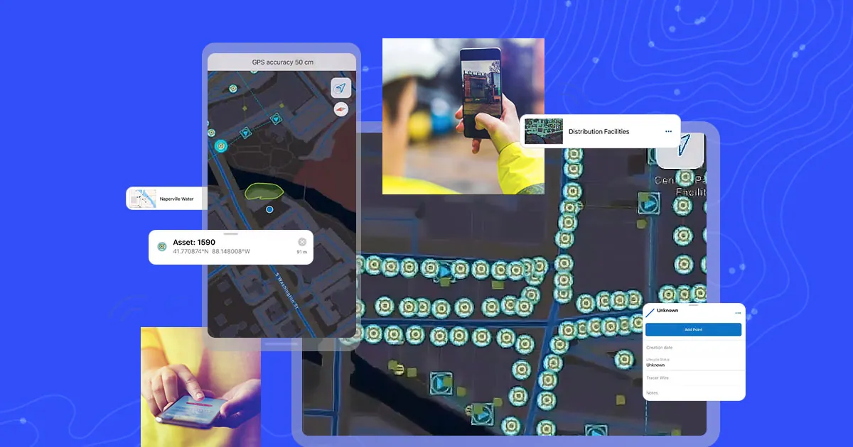
Collect and manage data in the field
Mobile field data collection
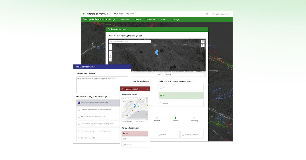
Smart form builder
Dashboards, networks and drone mapping
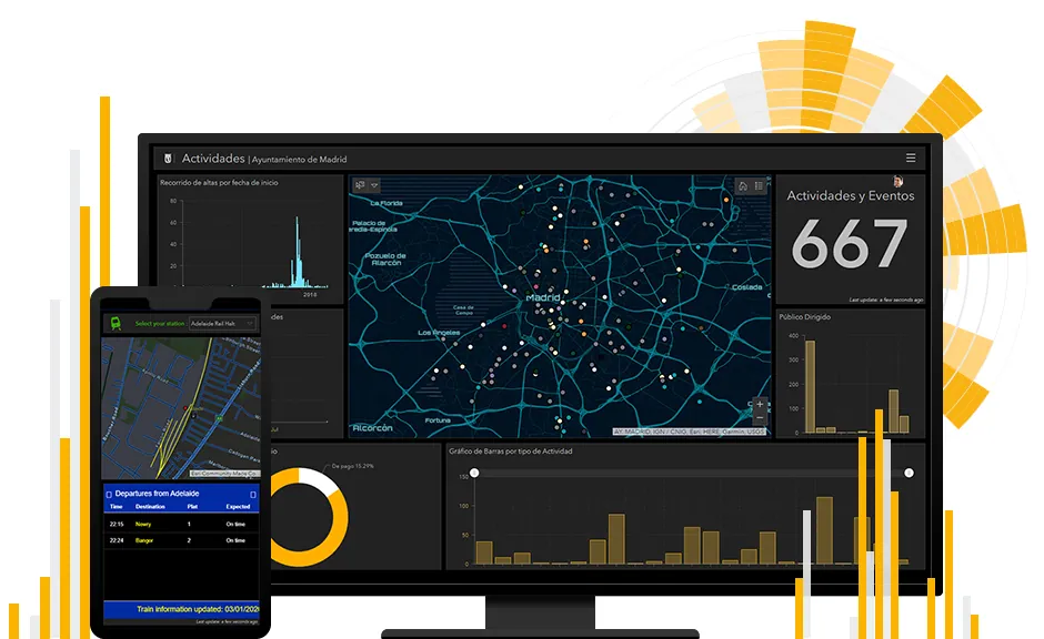
Operational and strategic dashboards
Models complex utility networks
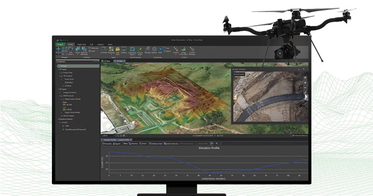
Drone photogrammetry in GIS
Courses and learning paths for every level, from first map to advanced analysis.
Learn moreSee how organizations in every sector use ArcGIS.
Learn more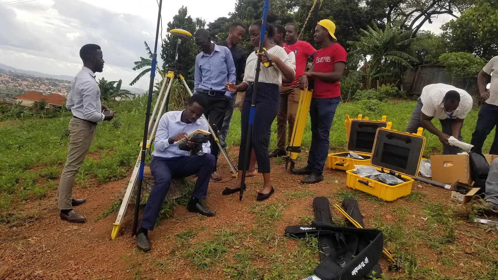
Structured ArcGIS Pro, Enterprise and Field Maps courses delivered in Kampala.
Learn morePortal design, geodatabases and migration planned and supported by our team.
Learn moreAs an Esri Silver Partner, we don’t just sell licenses — we architect, deploy, and support your GIS investment for the long term.
Centralized corporate GIS portals with role-based security, spatial geodatabase design, and migration from legacy desktop GIS.
Configure Field Maps and Survey123 for asset inspection, humanitarian needs assessments, and mobile workforce dispatch across disconnected sites.
Structured ArcGIS Pro, Enterprise, and Field Maps courses delivered by certified KACO GIS trainers.
Our GIS architects help you scope the right ArcGIS licensing tier and deployment model for your organisation’s scale and budget.