Autodesk
What's new in Civil 3D, InfraWorks and ReCap Pro
Read about the latest improvements across the civil design and reality-capture tools in the Autodesk AEC portfolio.
Learn more
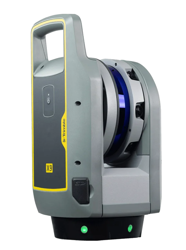 TrimbleGNSS · Total Stations · Scanning
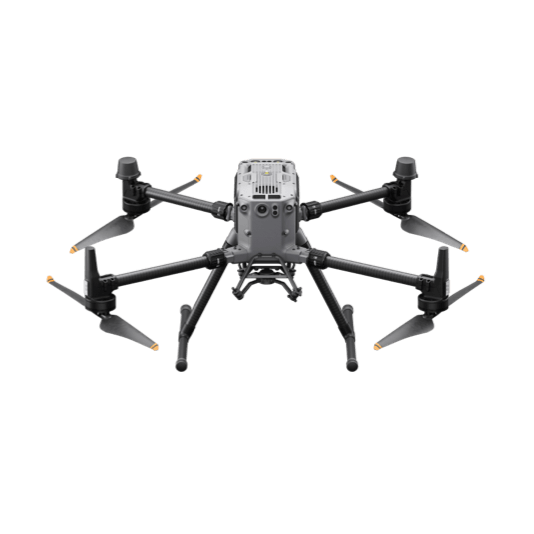 DJI EnterpriseDrones · LiDAR · Dock
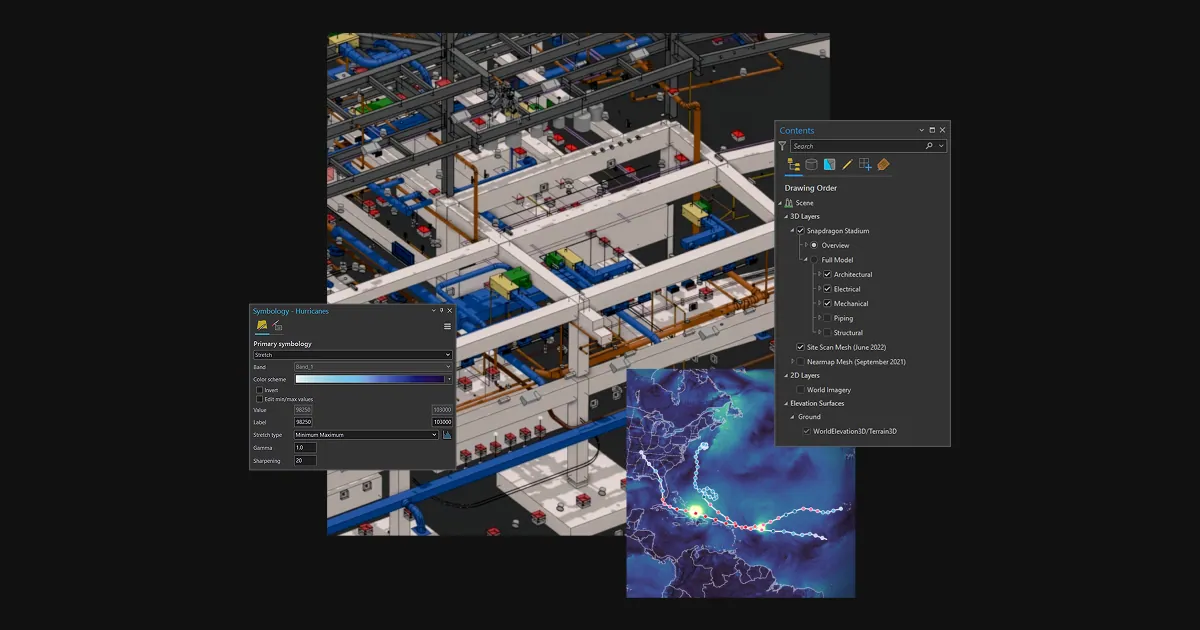 Esri ArcGISGIS & SDI
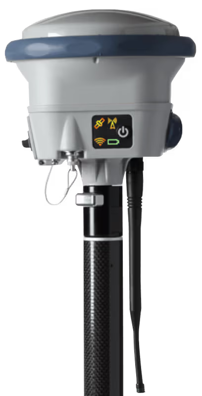 Spectra GeospatialGNSS & Robotic Stations
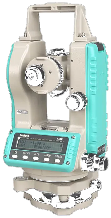 Nikon PrecisionOptical Survey
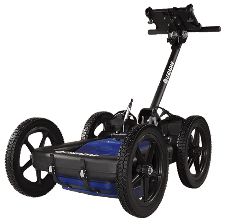 US RadarGround Penetrating Radar
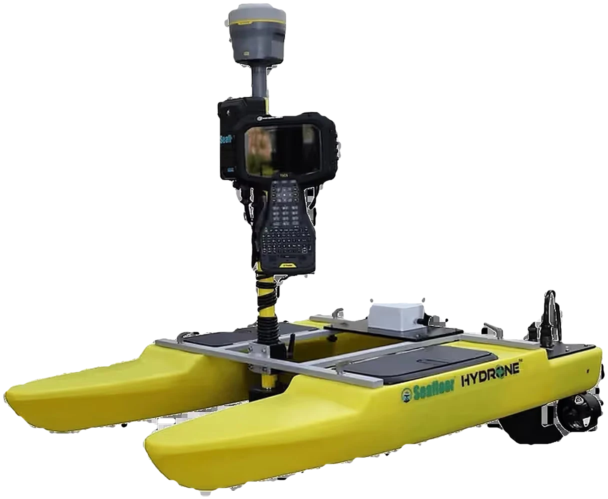 Seafloor SystemsHydrographic SurveyAutodesk & CarlsonCAD & Field Software
 DatamineMine Geology Software
 IBM Tape StorageEnterprise Data Archive
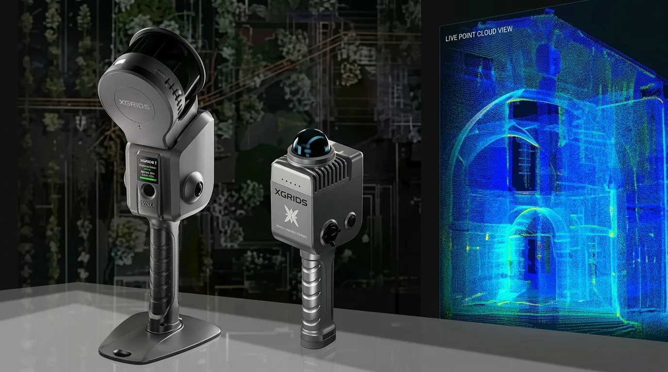 XGRIDSHandheld SLAM LiDAR

Read about the latest improvements across the civil design and reality-capture tools in the Autodesk AEC portfolio.
Learn moreOfficial videos from Autodesk and Carlson Software.
How survey, design and field teams use the software together.
Licensed, deployed and supported locally by KACO Systems.
Design, BIM and reality capture
Civil engineering design and documentation
Industry-standard 2D and 3D CAD
Building information modeling
Point cloud and reality capture
Field data collection and civil office software
Field data collection for RTK GPS and total stations
Office survey software
Survey, civil, hydrology and GIS together
See how civil engineers use the Autodesk AEC collection from design to construction.
Learn moreBrowse the full range of Carlson Software products.
Learn more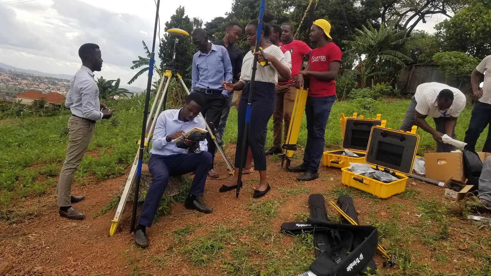
Hands-on, instructor-led courses for field crews and office teams, delivered in Kampala.
Learn more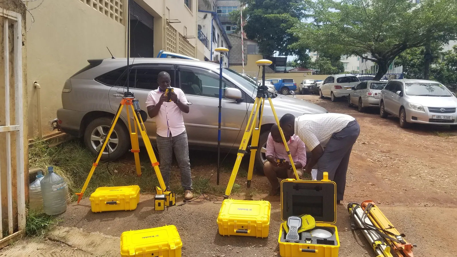
Import Trimble and drone data into Civil 3D and Revit for as-built and design work.
Learn moreOwning the software is one thing — using it well is another. We back every Autodesk deployment with instructor-led training and technical support in Kampala.
Import Trimble GNSS, total station, and drone LiDAR data directly into Civil 3D and Revit for as-built verification and design.
Clash detection, 4D sequencing, and cross-discipline model review support for civil infrastructure and building projects.
Instructor-led AutoCAD Essentials, Civil 3D, and Revit Essentials courses tailored to your team's engineering workflow.
Our engineers help you scope the right Autodesk licensing bundle and set up your field-to-finish workflow from day one.