

Why Choose us

We turn ideas into reality

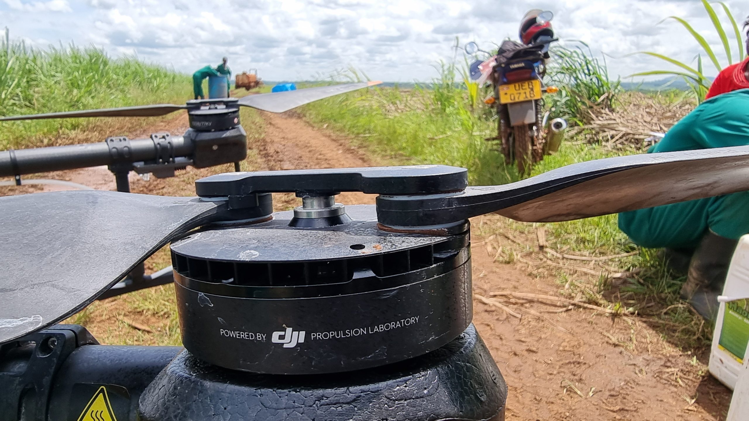
Technology in action

Driven by a passion for innovation, KACO Systems is setting the pace for the future of work with connected data and cutting-edge technology. Bringing to you solutions and services in the area of Geographical Information Systems (GIS) and related applications.

Outcomes powered by industry intelligence

Kaco Systems solutions go beyond working smarter. Our unique ability to connect the physical and digital worlds with data and integrated technology improves the way people live, eat and move. Contact us for more informaation.

KACO SYSTEMS

Services and Products

Sustainability

Our commitment to sustainability guides our innovations and investments, and inspires new ways to do more with less impact on the environment.

The Future we are Helping to Create;We show up for the things that matter in every aspect of our business and across all industries. Everything we do as a technology company is a commitment to making a better future for all.Belong, innovate and grow are the values that guide how we do business. We help to ensure quality of life for people and planet, now and for generations to come.

Are You Looking For Our Skills Training Services ?

TRAININGS

KACO has set the industry standard for GIS technology
and is now establishing benchmark standards for individuals who use Esri software with the recently launched Esri Technical Certification Program. 

Successful organizations know that investing in staff
development is an effective strategy to reduce costs,
streamline operations, and improve business results.
Benefits of GIS training include

This course teaches the complete mobile GIS workflow and
participants learn the basic skills that will prepare them for using
ArcPad in their daily work. You will use ArcMap for the preparation
of data and maps for field work, capture and edit data in the field
using ArcPad, and transfer field edits to an existing GIS database
using ArcMap

  • By automating complex or time-consuming processes using
    scripts, you can streamline GIS workflows and data management.
    Python® is the scripting language included with ArcGIS. This
    course introduces Python syntax and shows how to use scripts
    to automate geoprocessing tasks. You will also work with
    ArcPy™, an Esri-developed site package that integrates Python
    scripts into ArcGIS Desktop.

This course introduces ArcGIS Server and teaches a workflow for creating and sharing GIS content. You will learn to publish maps, globes, and geoprocessing models that are optimized for performance and to quickly create out-of-the-box Web
applications using ArcGIS Server Manager. Installation and
some configuration techniques for ArcGIS Server are covered,
but administration is not the focus of this course.

This course shows how to access and edit GIS data in a multiuser environment and teaches fundamental editing workflow
procedures and client-side performance considerations.
This course does not focus on a specific relational database management system (RDBMS) and is suitable for those working
with desktop, workgroup, and enterprise ArcSDE geodatabases.


Up to 30%
cost savings over traditional solutions.
More than $540
million invested in research and development in 2022
Up to 50%
efficiency gains over traditional solutions.
Course
Training Resources
Partners
Worldwide.
Real User Views

What Our Clients Say About Us

NATIONAL FOREST AUTHORITY

The company needed to complete a complex migration on a tight deadline to avoid millions of dollars in post-contract fees and fines.

USAID

“The company needed to complete a complex migration on a tight deadline to avoid millions of dollars in post-contract fees and fines.”

WILDLIFE CONSERVATION SOCIETY

“The company needed to complete a complex migration on a tight deadline to avoid millions of dollars in post-contract fees and fines”

Surveying Technologies

Industry Insights