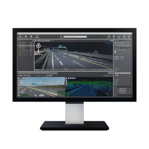
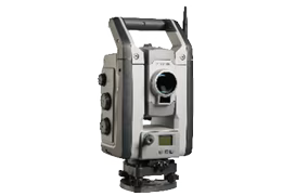
Vehicle-mounted mapping systems for large-scale mapping projects.
Trimble vehicle-mounted mobile reality capture systems integrate georeferencing technologies with precise, high-speed laser scanning and high-resolution imaging sensors so you can rapidly collect enormous amounts of accurate, georeferenced spatial data and transform it into 3D models, maps, GIS deliverables and more.